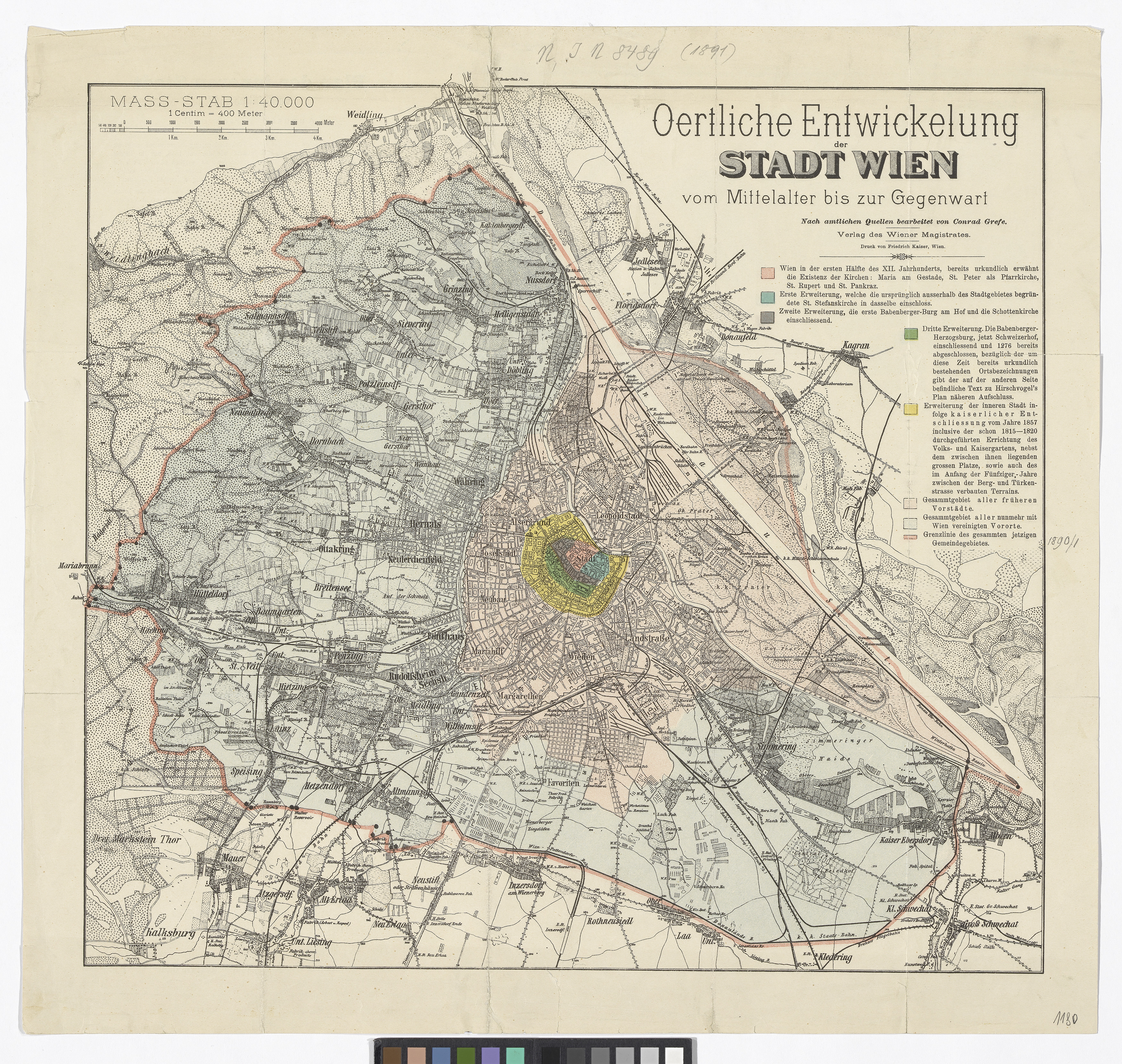
"Oertliche Entwicklung der Stadt Wien vom Mittelalter bis zur Gegenwart "
(Original title)- Title
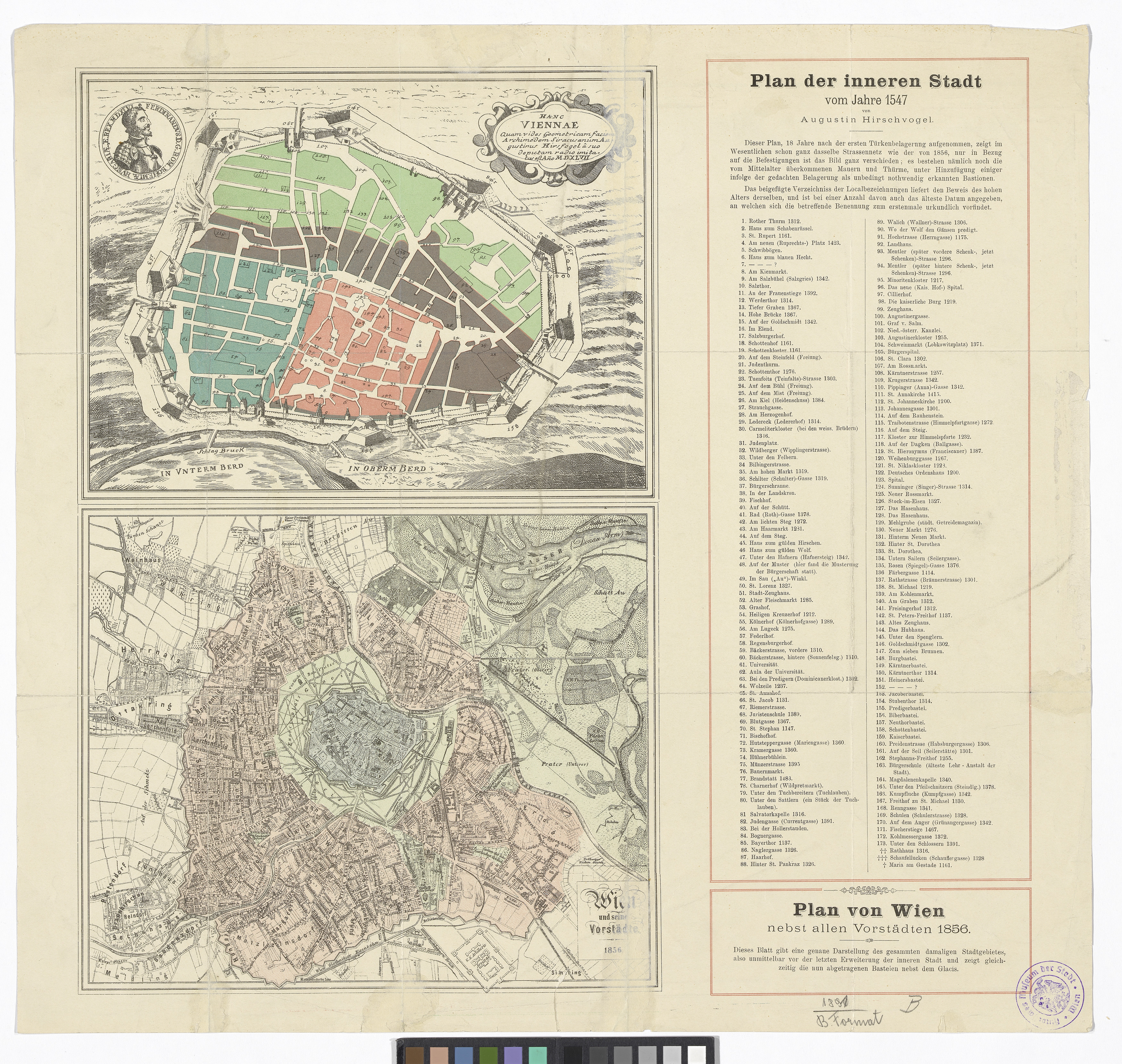
- Örtliche Entwicklung der Stadt Wien vom Mittelalter bis zur Gegenwart; mit 2 Nebenkarten auf der Rückseite: 1. Plan der Inneren Stadt (Reproduktion von Augustin Hirschvogel 1547); 2. Plan von Wien nebst allen Vorstädten (1856)
- Artists/Producer
Name Role Conrad Grefe (1823—1907) cartographerFriedrich Kaiser Printer- Inventory number
- 8489
- Classification
- Date
- around 1891
- Material
- Technique
- Dimensions
- Bildmaß 45,5×49,5 cm
- Blattmaß 52×55,5 cm
- Maßstab 1:40.000
- Themes
- Subjects
- Iconclass Codes
- External Links
Have you found a possible mistake or have additional information about this object?
We look forward to hearing from you at:
onlinesammlung@wienmuseum.at