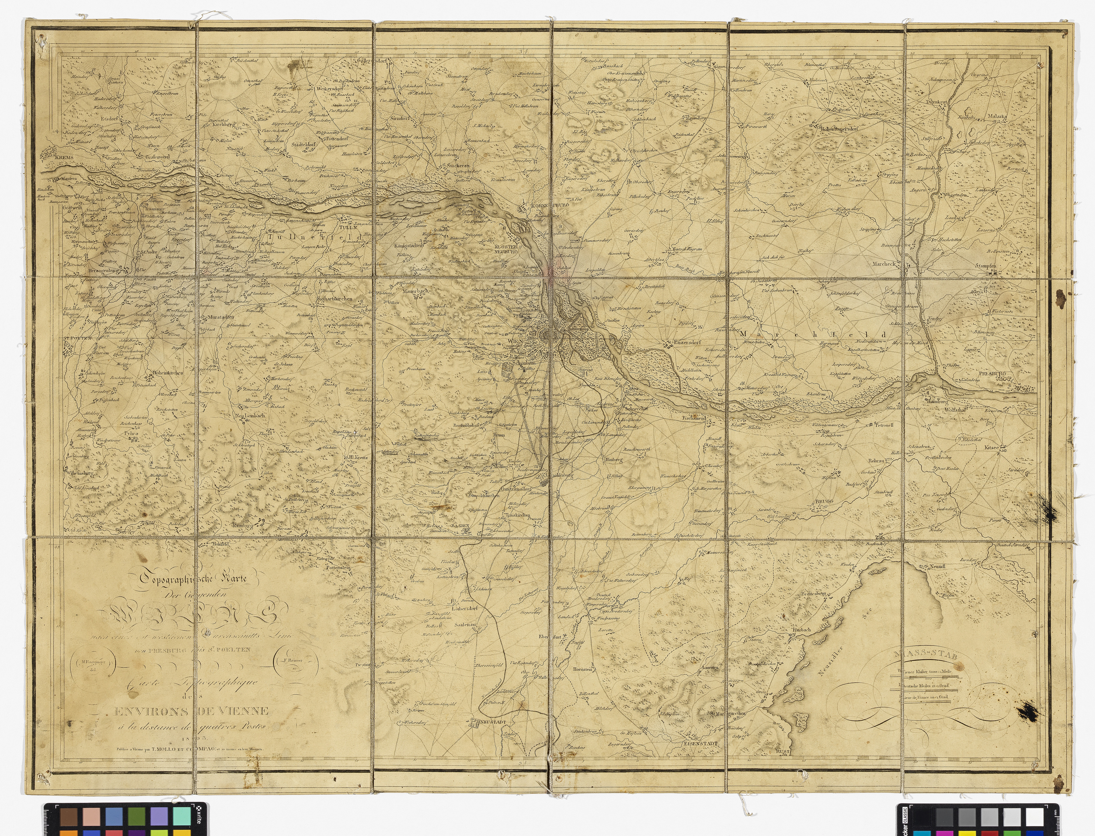
"Topographische Karte Der Gegenden Wiens nach einer ost-westlichen Durchschnitts-Linie von Presburg bis St. Poelten : Carte Topographique des Environs De Vienne a la distance de quatres Postes"
(Original title)- Descriptive title
- Topographische Karte der Umgebung Wiens, 1803
- Artists/Producer
Name Role Verlag T. Mollo (ab 1798) Franz Reisser (1771—1836) copper engraverMichael Ragginger cartographer- Inventory number
- 239933
- Classification
- Date
- 1803
- Material
- Technique
- Dimensions
- Bildmaß 46,4×64,5 cm
- Blattmaß 51,2×69,3 cm
- Maßstab: ca. 1:180.000
- Themes
- External Links
Have you found a possible mistake or have additional information about this object?
We look forward to hearing from you at:
onlinesammlung@wienmuseum.at