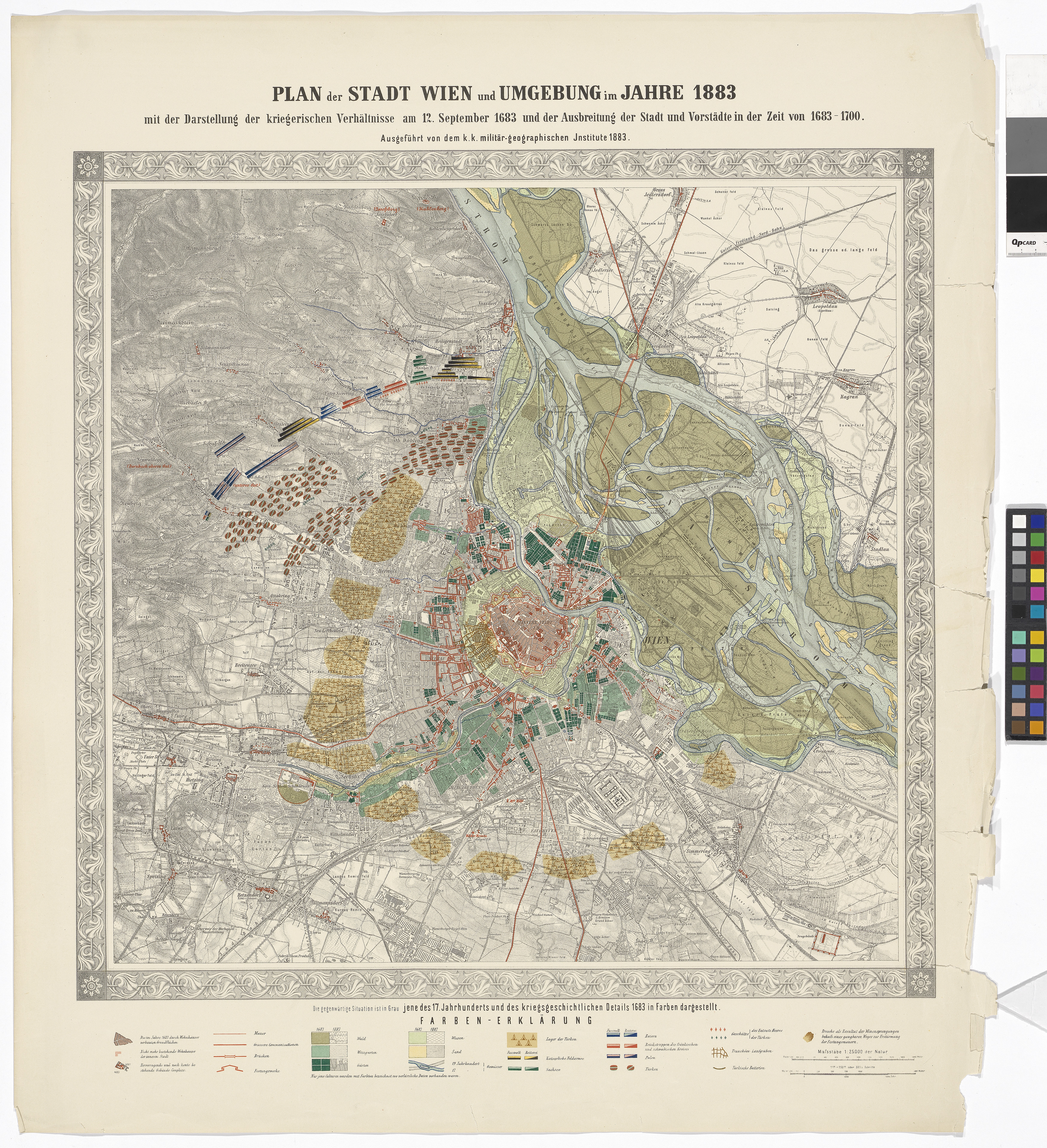
"Plan der Stadt Wien und Umgebung im Jahre 1883 mit der Darstellung der kriegerischen Verhältnisse am 12. September 1683 und dder Ausbreitung der Stadt und Vorstädten in der Zeit von 1683-1700."
(Original title)- Title
- Plan der Stadt Wien und Umgebung im Jahre 1883 mit Darstellung der 2.ten Türkenbelagerung und Ausbreitung der Stadt bis 1700
- Artists/Producer
Name Role Militärgeographisches Institut (1840—1921) realisation- Inventory number
- 49547/4
- Classification
- Date
- 1883
- Material
- Technique
- Dimensions
- Bildmaß 60,2×61 cm
- Blattmaß 79×60,5 cm
- Maßstab 1:25.000
- Themes
- Subjects
- Iconclass Codes
- External Links
Have you found a possible mistake or have additional information about this object?
We look forward to hearing from you at:
onlinesammlung@wienmuseum.at