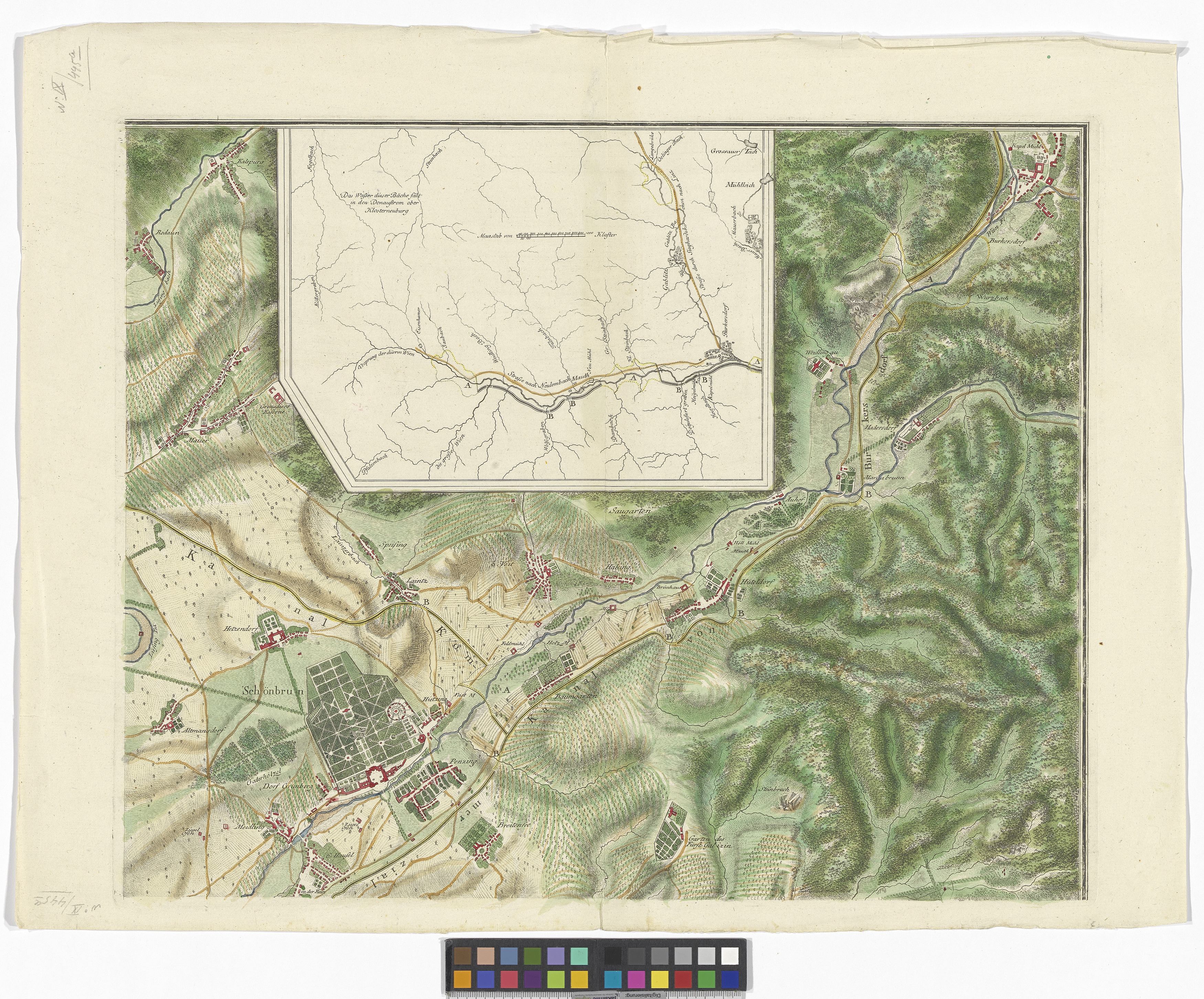
"Carte Topohydrographique de la Ville de Vienne et de Ses environs"
(Original title)- Title
- Topohydrographische Karte der Stadt Wien und Umgebung - Regulierung der westlichen Wiener Umgebung (nord-östliches Blatt)
- Artists/Producer
Name Role Francois Joseph Maire (1738—1788) cartographer- Inventory number
- 169766
- Classification
- Date
- 1788
- Material
- Technique
- Dimensions
- Blattmaß 49×64 cm
- Bildmaß 42,5×52 cm
- Maßstab: ca. 1:24.000
- Themes
- Subjects
- Iconclass Codes
- External Links
Have you found a possible mistake or have additional information about this object?
We look forward to hearing from you at:
onlinesammlung@wienmuseum.at