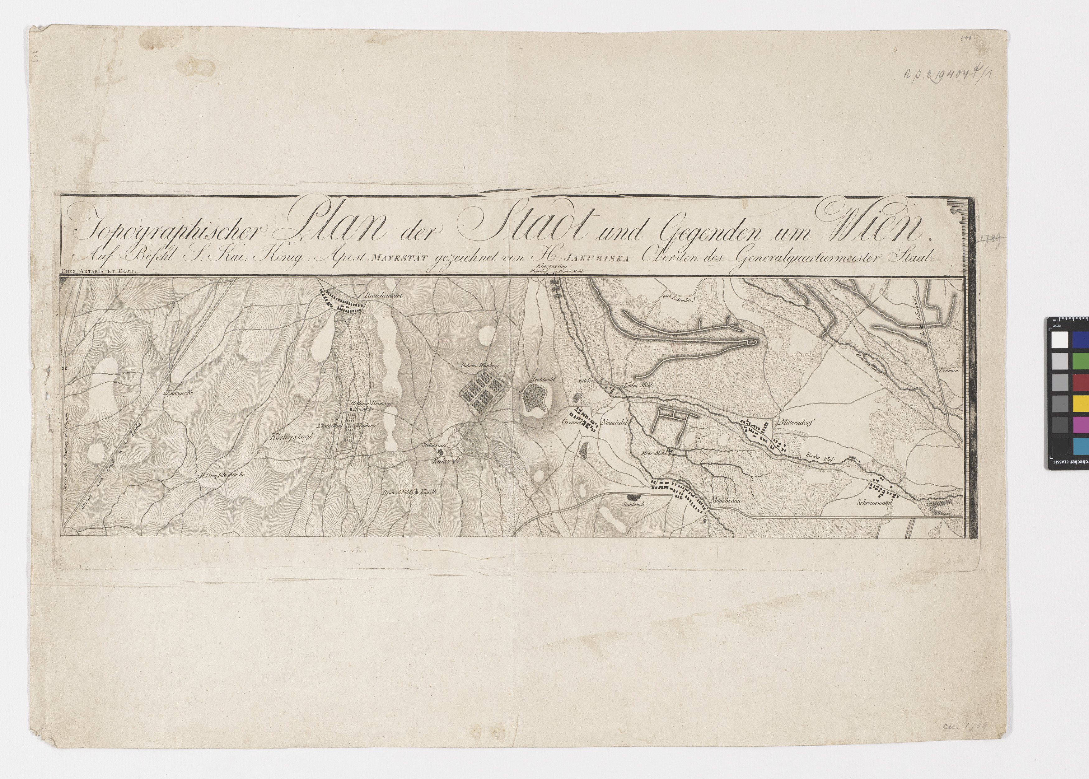
Topographischer Plan der Stadt und Gegenden um Wien (5-teiliger Plan)
- Artists/Producer
Name Role Sebastian Mansfeld (1751—1816) copper engraverArtaria & Co. Verlag publishing houseStephan Jakubicska (1742—1806) cartographer- Inventory number
- 19404/1
- Classification
- Date
- around 1800
- Material
- Technique
- Dimensions
- Höhe 50,3 cm
- Breite 68,5 cm
- Plattenmaß 26,4×65,1 cm
- Maßstab: ca. 1:32.500
- Themes
- Subjects
- Iconclass Codes
Have you found a possible mistake or have additional information about this object?
We look forward to hearing from you at:
onlinesammlung@wienmuseum.at