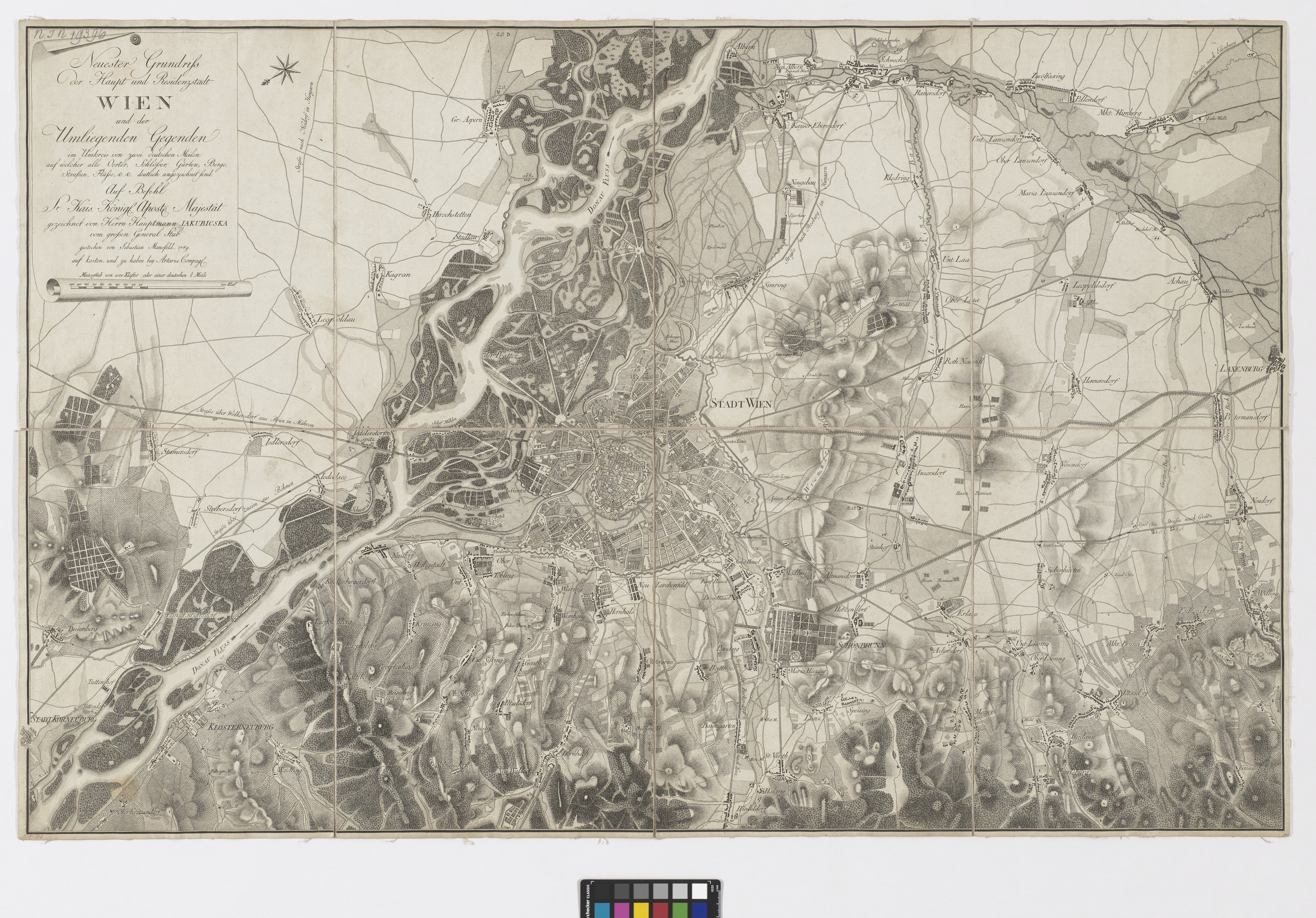
"Neuester Grundriss der Haupt und Residenzstadt WIEN und der Umliegenden Gegenden im Umkreis von zwei deutschen Meilen auf welcher alle Oerter, Schlösser, Gärten, Berge, Strassen, Flüsse, &&. deutlich aufgezeichnet sind."
(Original title)- Descriptive title
- Plan von Wien und Umgebung
- Artists/Producer
Name Role Sebastian Mansfeld (1751—1816) copper engraverArtaria & Co. Verlag publishing houseStephan Jakubicska (1742—1806) cartographer- Inventory number
- 19396
- Classification
- Date
- 1789
- Material
- Technique
- Dimensions
- Höhe 63 cm
- Breite 98,2 cm
- Maßstab: ca. 1:32.400
- Themes
- Subjects
- Iconclass Codes
Have you found a possible mistake or have additional information about this object?
We look forward to hearing from you at:
onlinesammlung@wienmuseum.at