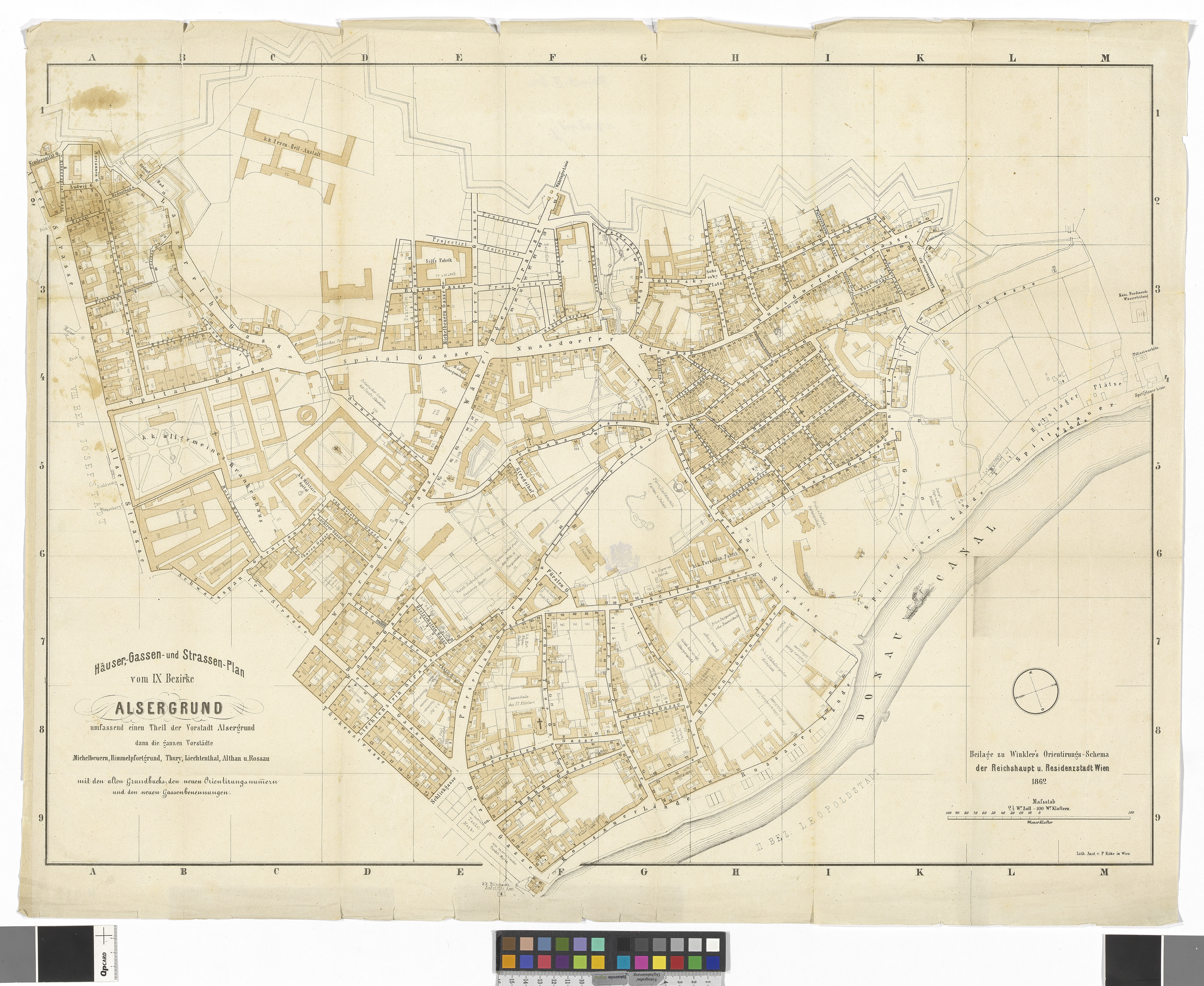
Häuser, Gassen- und Straßen-Plan vom IX. Bezirke Alsergrund
(Original title)- Title
- 9., Plan des Bezirks Alsergrund (Beilage zu Winklers Orientierungsschema)
- Artists/Producer
Name Role F. Köke lithography institute- Inventory number
- 38948/11
- Classification
- Date
- 1862
- Material
- Technique
- Dimensions
- Blattmaß 64,1×82,8 cm
- Bildmaß 57,4×79,2 cm
- Maßstab 1:3.000
- Themes
- Subjects
- Iconclass Codes
- External Links
Have you found a possible mistake or have additional information about this object?
We look forward to hearing from you at:
onlinesammlung@wienmuseum.at