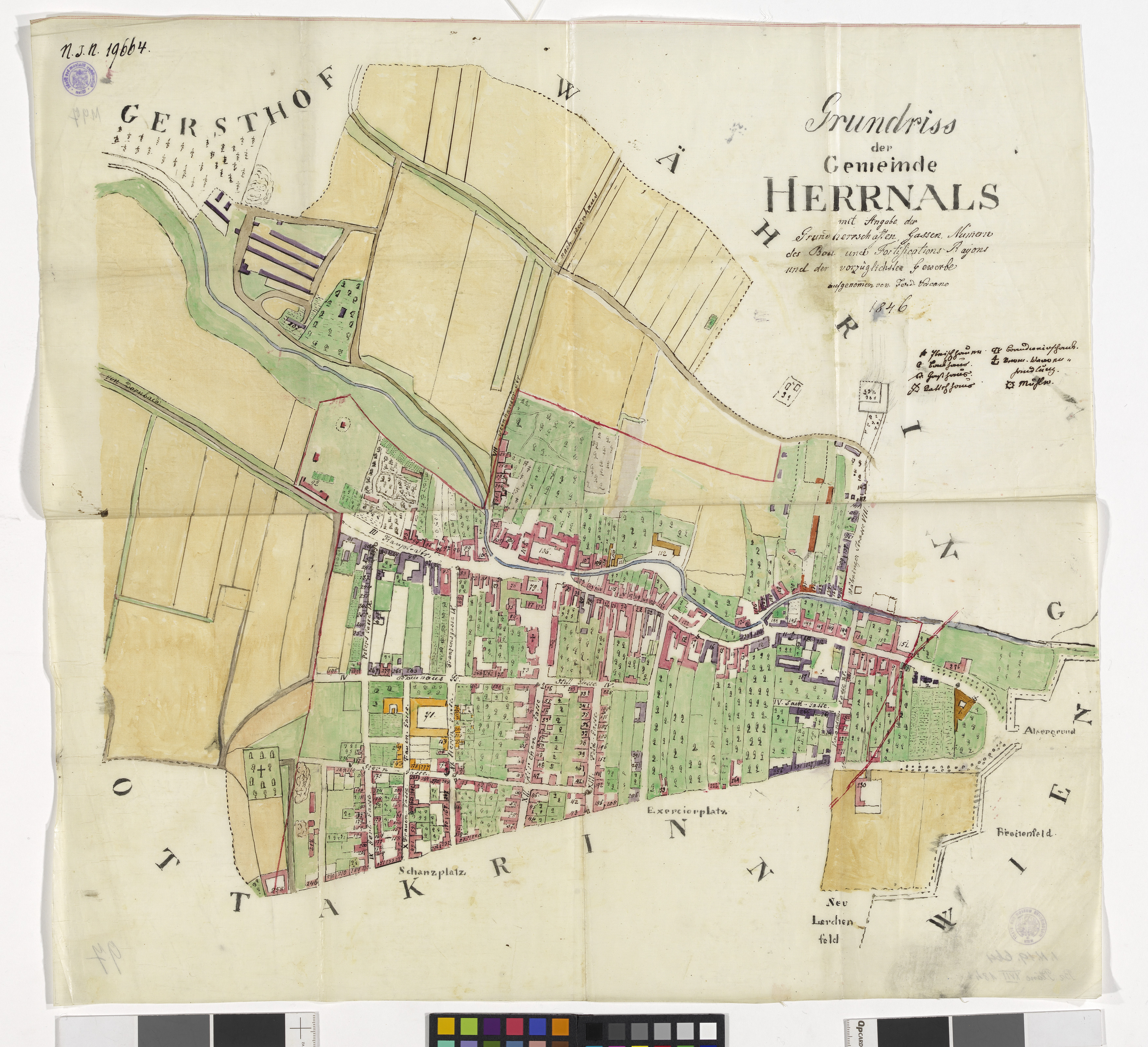
"Grundriss der Gemeinde Herrnals mit Angabe der Grundherrschaften, Gassen, Nummern, der Bau und Fortifikations-Rayons und der vorzüglichsten Gewerbe"
(Original title)- Descriptive title
- 17., Plan der Gemeinde Hernals
- Artists/Producer
Name Role Ferdinand Vacano (1804—1856) cartographer- Inventory number
- 19664
- Classification
- Date
- 1846
- Material
- Technique
- Dimensions
- Blattmaß 55,5×58,5 cm
- Themes
- Subjects
- Iconclass Codes
Have you found a possible mistake or have additional information about this object?
We look forward to hearing from you at:
onlinesammlung@wienmuseum.at