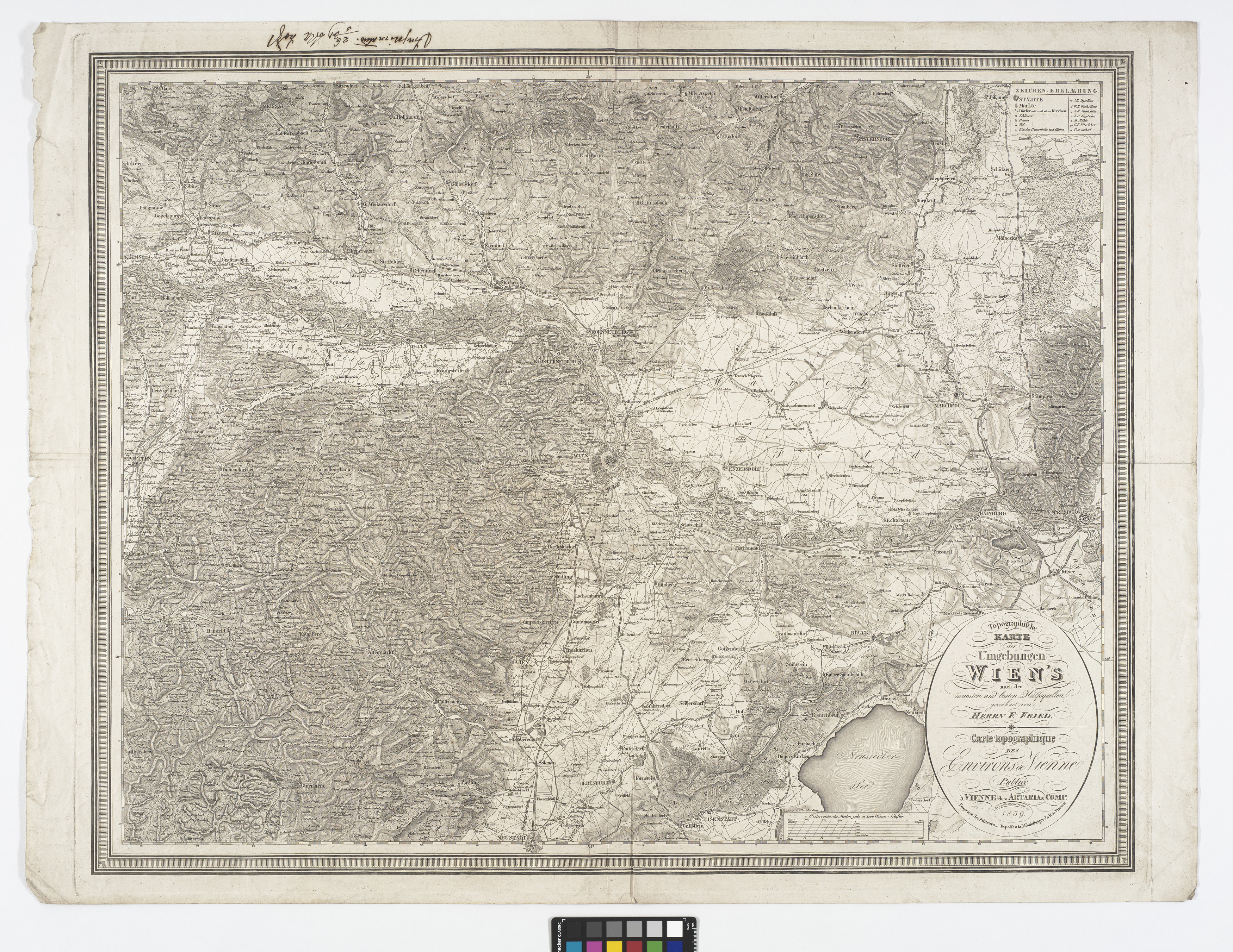
"Topographische Karte der Umgebungen Wien`s nach den neusten und besten Hülfsquellen gezeichnet von Herrn F. Fried.//Carte topographique des Environs de Vienne"
(Original title)- Descriptive title
- Topographische Karte der Umgebungen Wiens
- Artists/Producer
Name Role Artaria & Co. Verlag publishing houseFranz Fried (1811—1868) cartographer- Inventory number
- 238980/98/2
- Classification
- Date
- 1839
- Material
- Technique
- Dimensions
- Blattmaß: ca. 65,8×87,3 cm
- Bildmaß: ca. 56,4×73 cm
- Maßstab: ca. 1:150.000
- Themes
- Subjects
- Iconclass Codes
- External Links
Have you found a possible mistake or have additional information about this object?
We look forward to hearing from you at:
onlinesammlung@wienmuseum.at