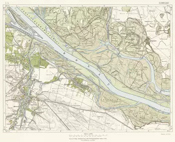
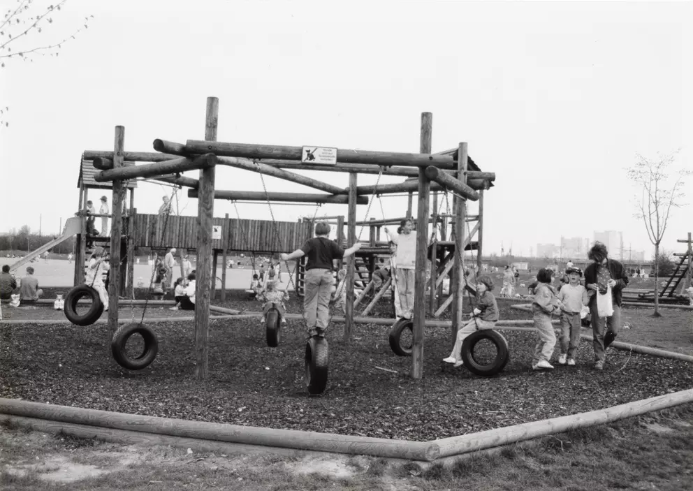
From Floodplain to Danube Island
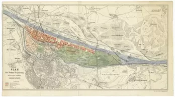
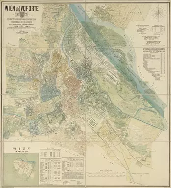
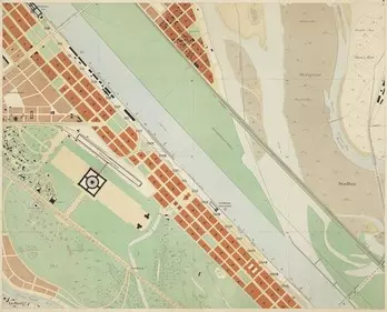
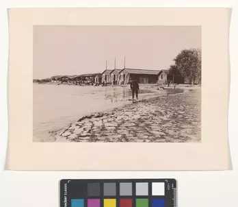
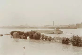
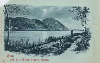
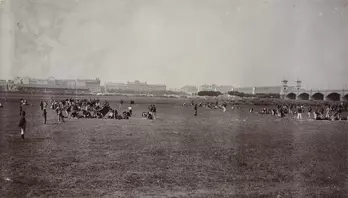
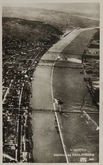
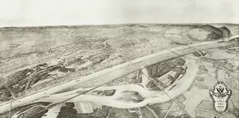
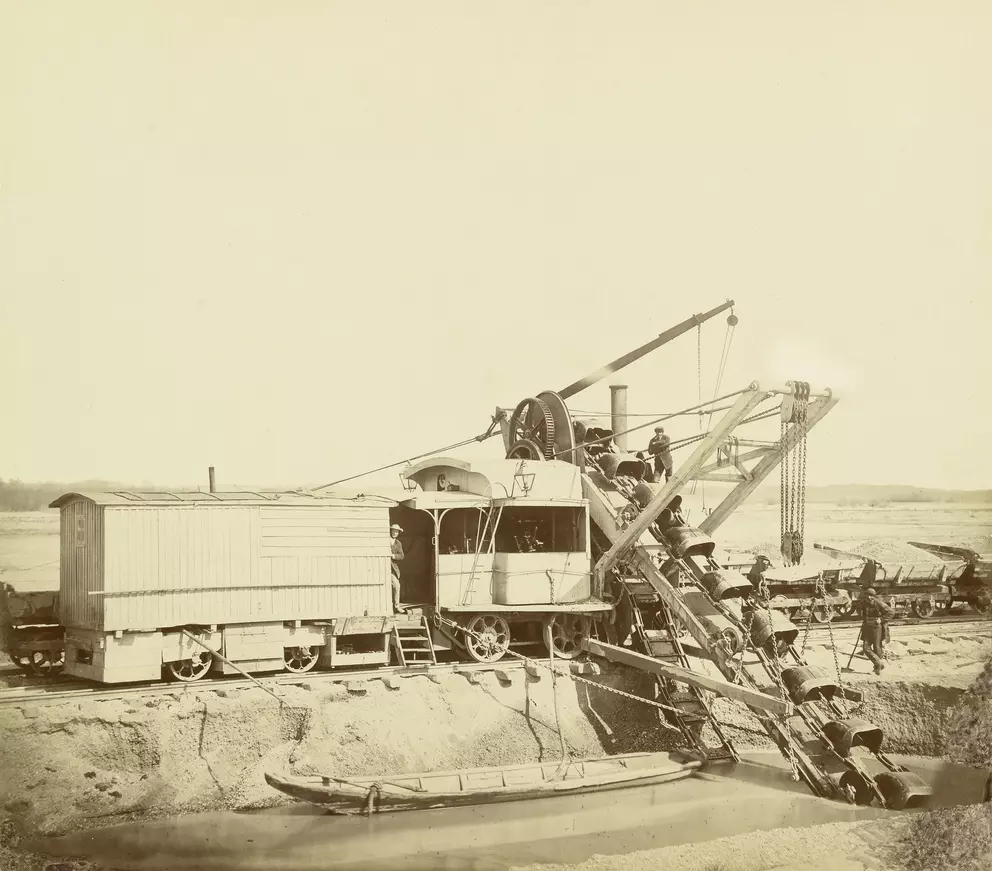
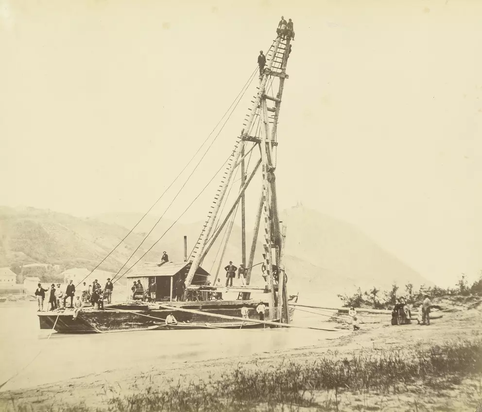
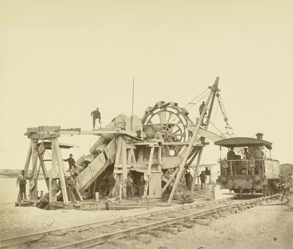
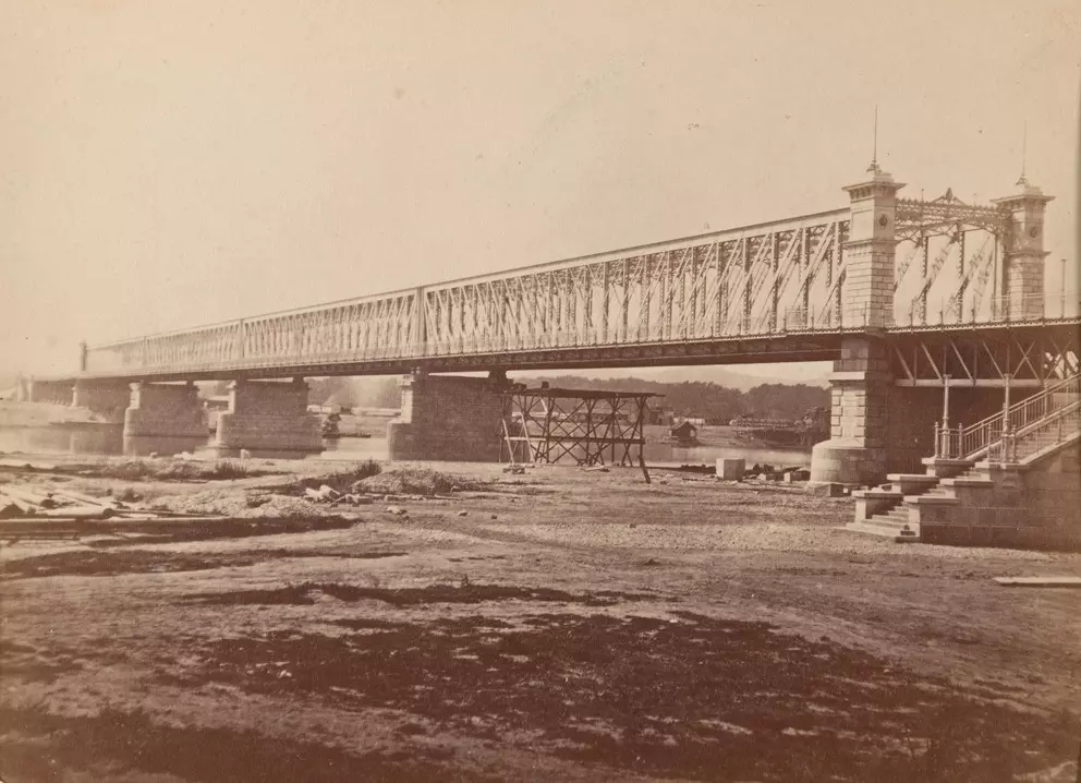
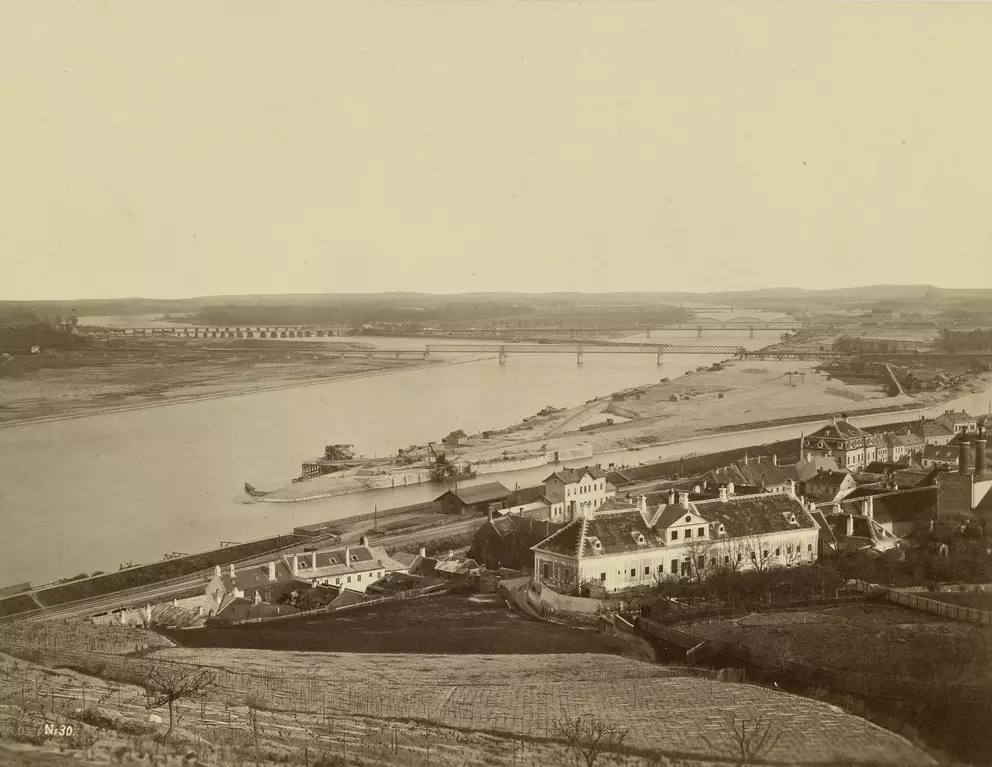
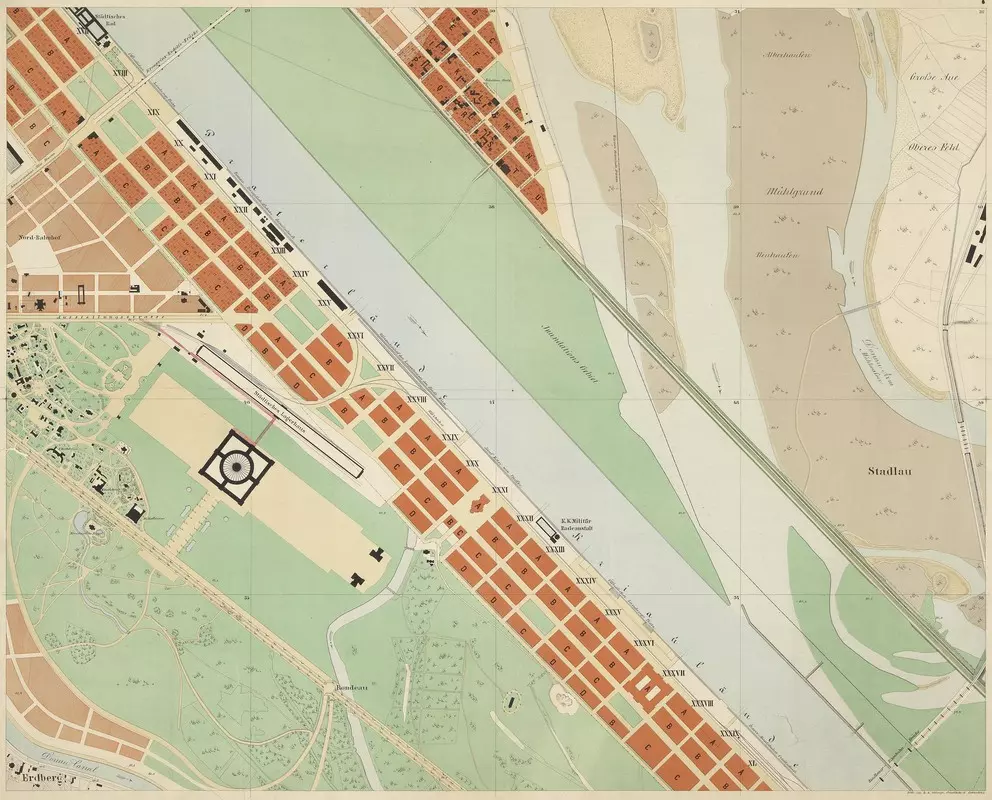
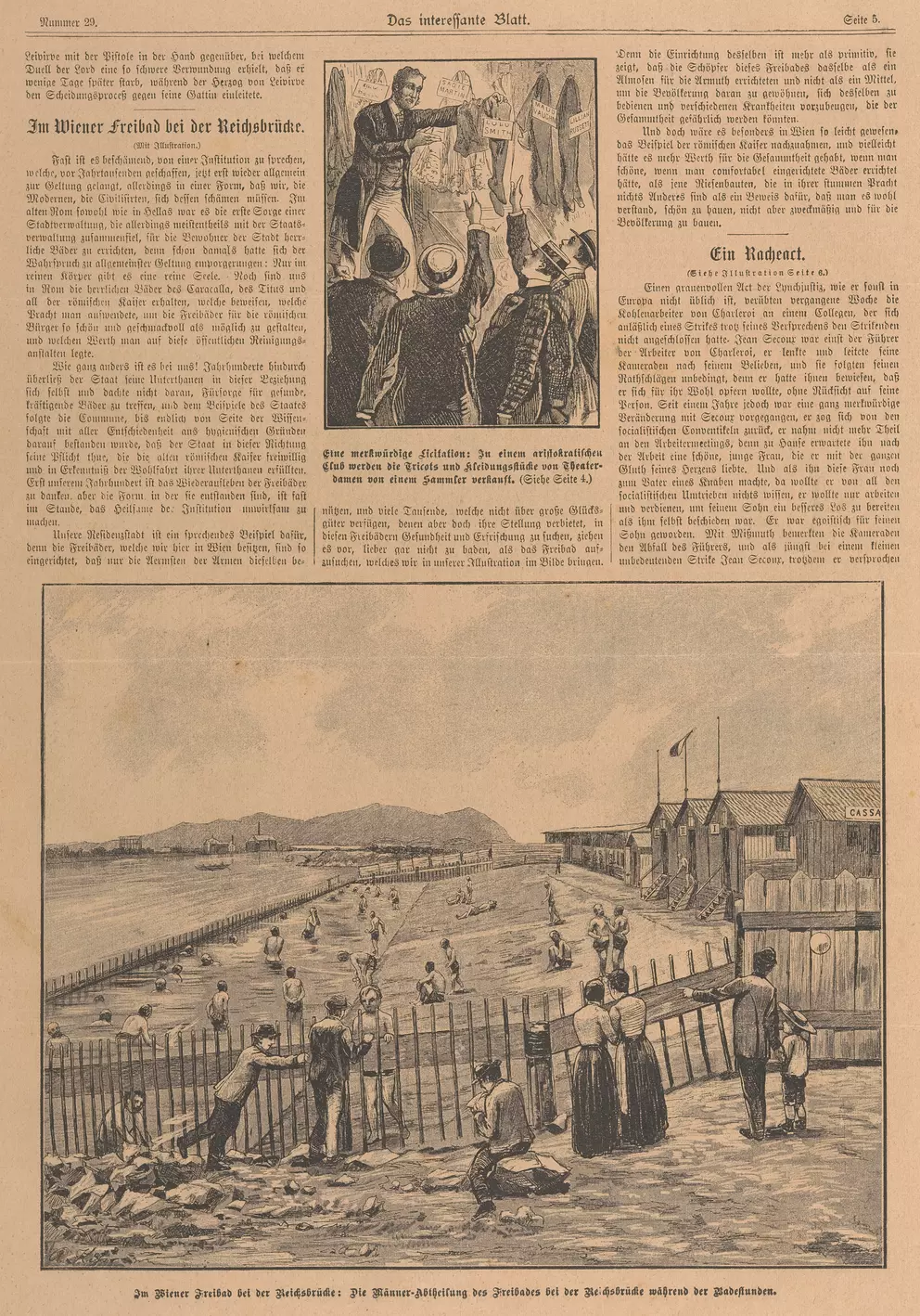
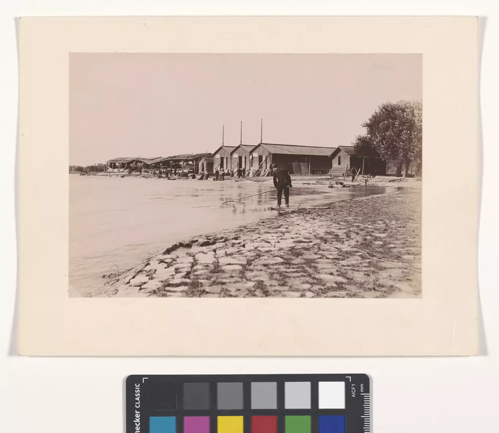
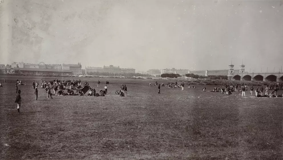
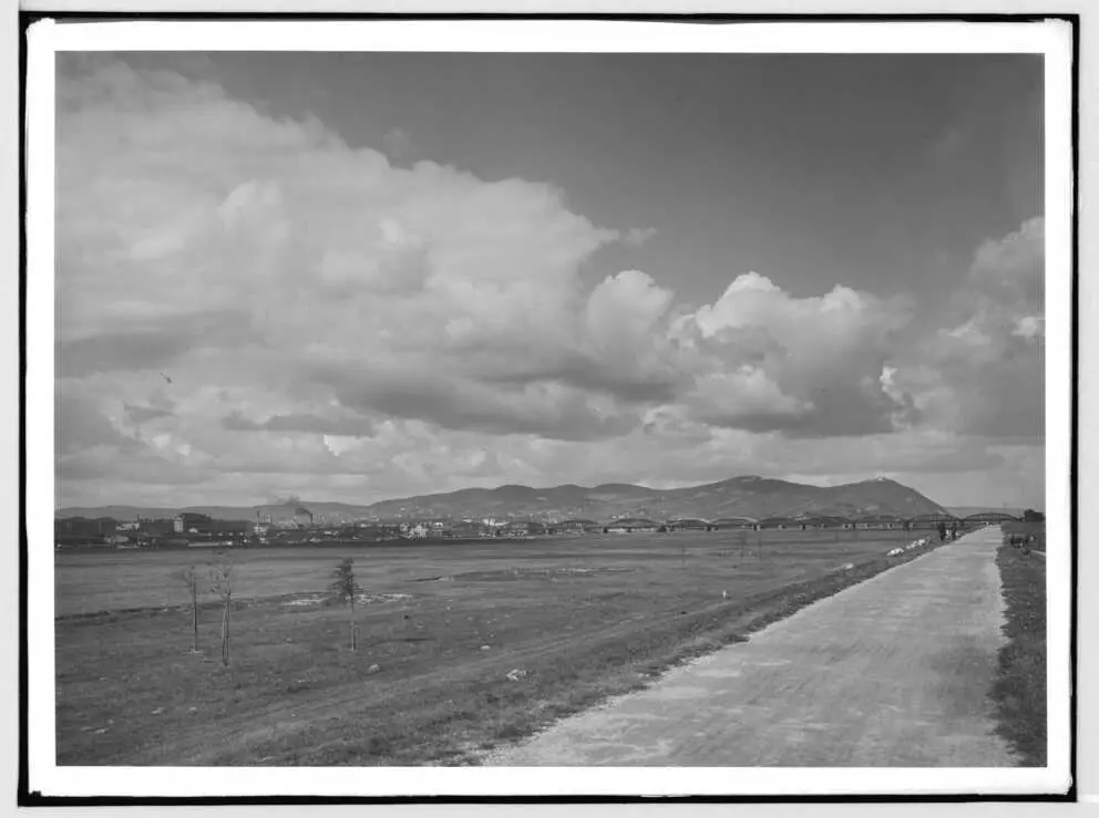
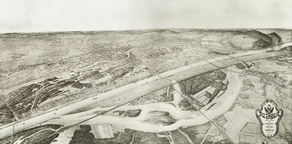
The Danube Island had a precursor as a recreational area in the form of the so-called inundation or floodplain zone. It was originally created during the first major regulation of the Danube in Vienna between 1870 and 1875. This area, which was to remain free of any construction between the main Danube channel and the Hubertusdam, gradually developed into a popular local recreation area. Between 1972 and 1988, it had to give way to a new form of flood protection and green space: the New Danube and the Danube Island. Today, these are just as much defining features of Vienna as the once vast, straight floodplain.


Hermann Voigtländer
1870–1875
Hermann Voigtländer
1870–1876
Hermann Voigtländer
1870–1876
Hermann Voigtländer
1870–1876
k. k. Hof- und Staatsdruckerei Wien
1871
Hermann Voigtländer
around
1873
(image)
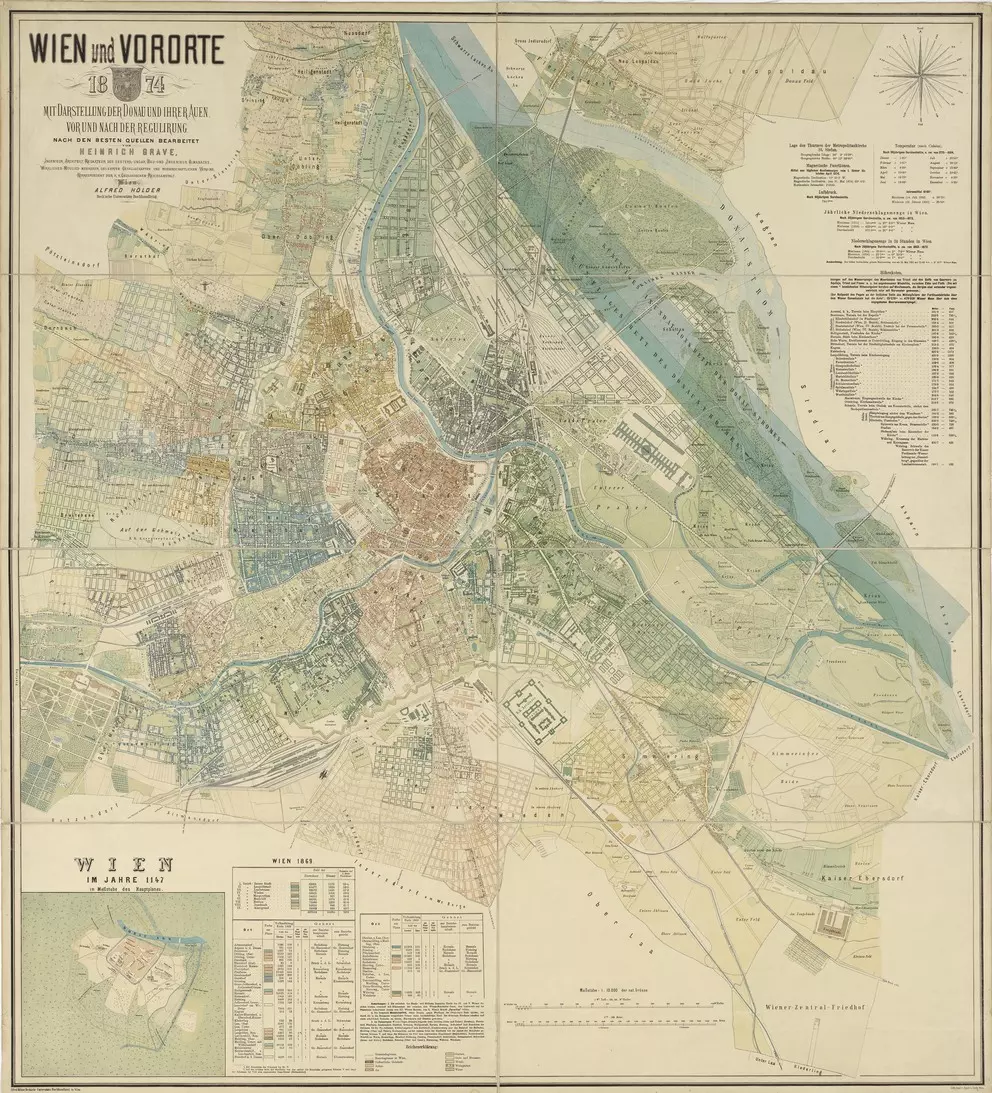
Alfred Hölder, Heinrich Grave
1874
Oscar Kramer
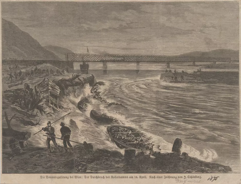
18.04.1875
K. K. lithographisches Institut des Katasters, Donau-Regulirungs-Commission
1875
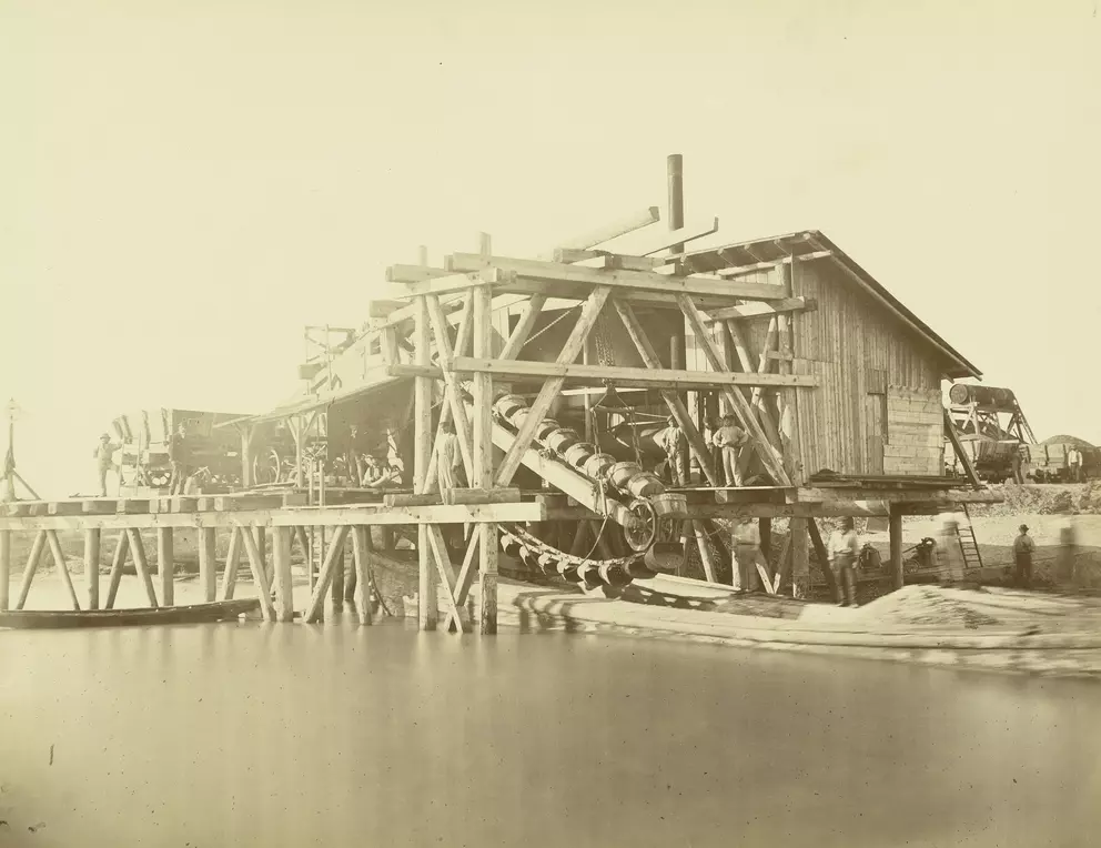
Michael Frankenstein & Comp.
around
1875
Johann Nepomuk Schönberg
1875
Hermann Heid
1876
Michael Frankenstein & Comp.
probably
1877
R. Kiss
1893
Friedrich Strauß
08.08.1897
Verlag bzw. k. u. k. Universitätsbuchhandlung R. Lechner (Wilh. Müller)
1897
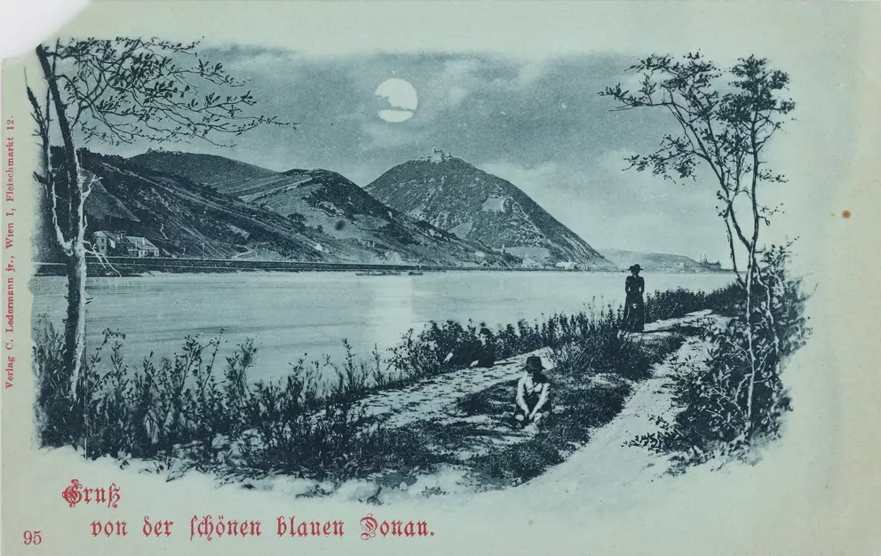
Carl (Karl) Ledermann jun.
around
1898
C. Angerer & Göschl
around
1900
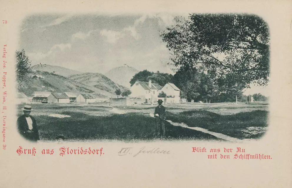
Verlag Josef Popper (J. P. W.)
1900–1904
Bruno Reiffenstein
around
1905
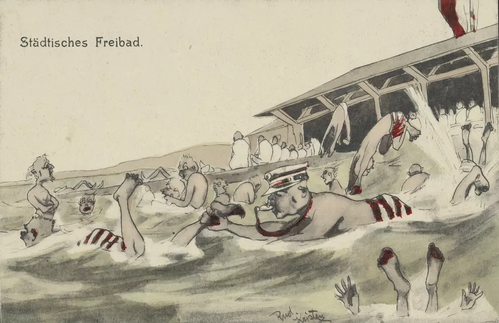
Brüder Kohn KG (B. K. W. I.), Rudolf Kristen
1905–1909
Gerlach & Wiedling (Buch- und Kunstverlag)
around
1910
questionable
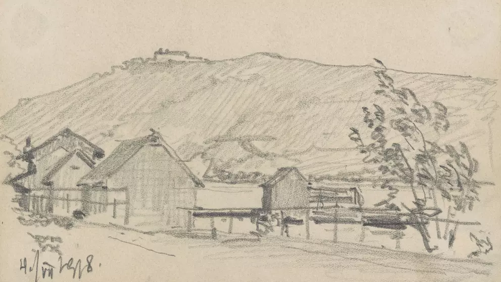
Hermann Vinzenz Heller
1918
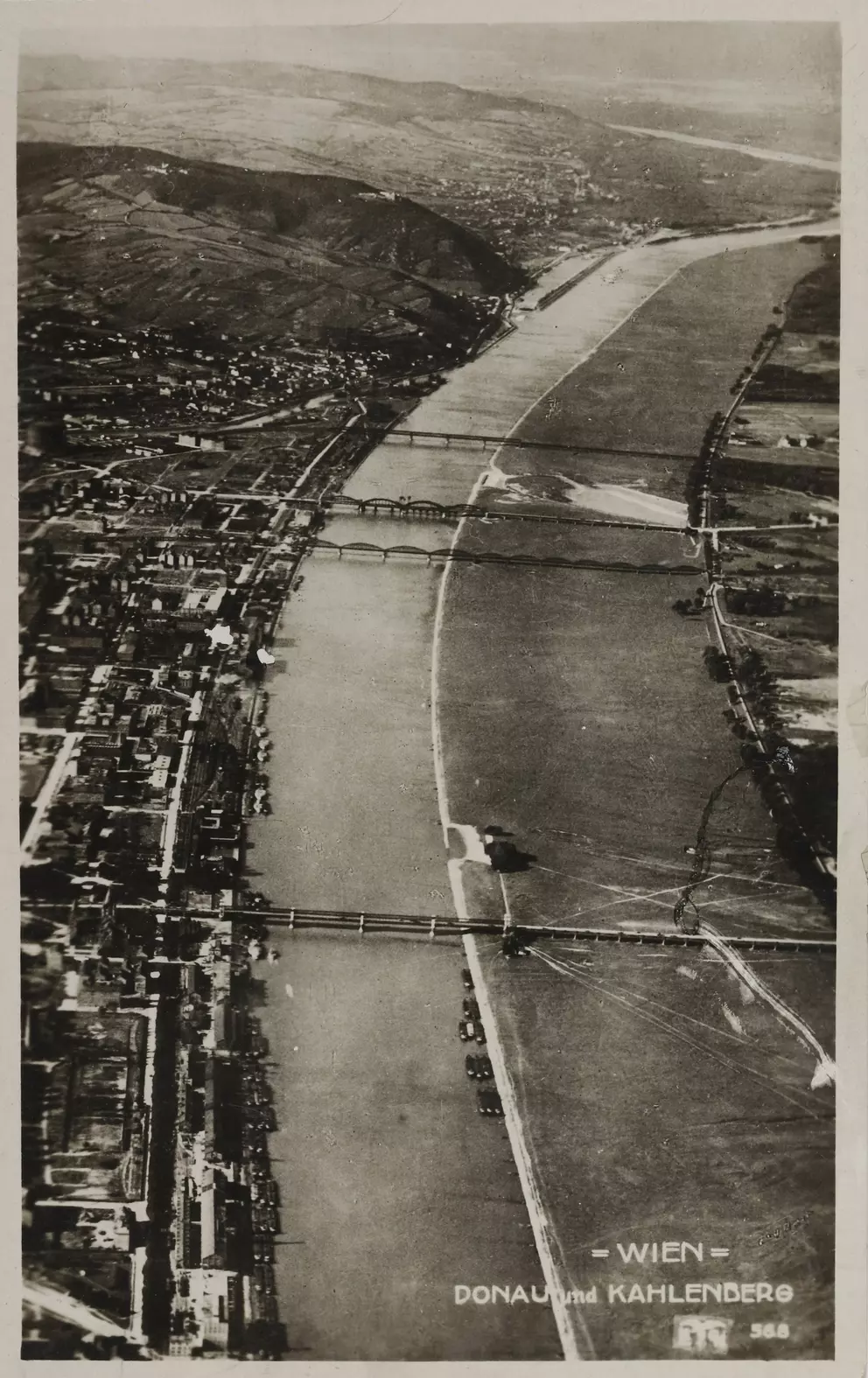
Verlag Luftbild Ges.m.b.H.
ca.
1919
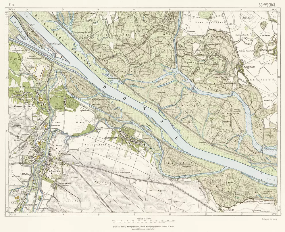
Kartographisches (früher Militärgeographisches) Institut in Wien
1925
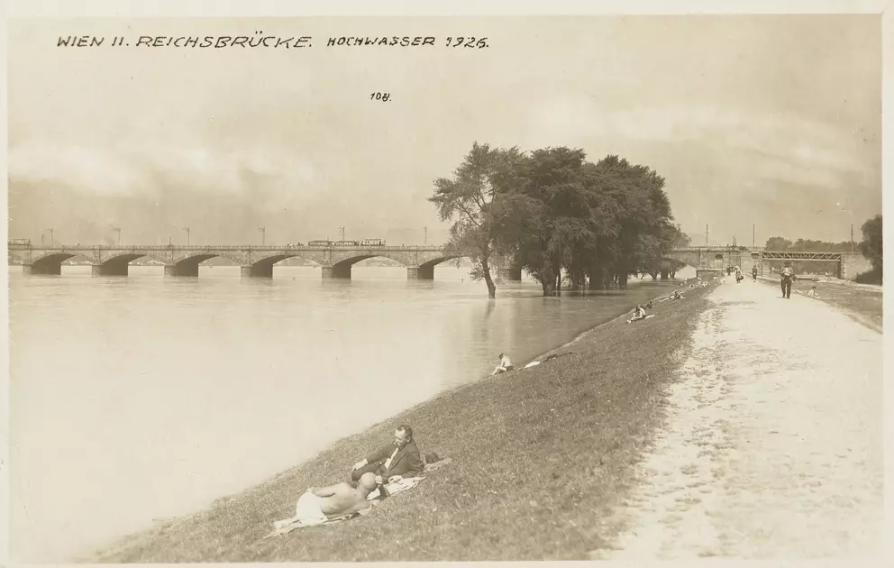
Unknown
1926
Brüder Rosenbaum, Hans Frank
around
1933
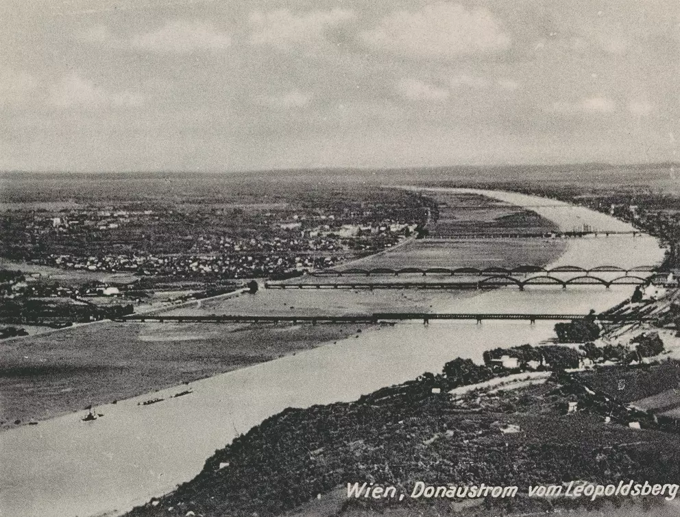
Unknown
around
1935
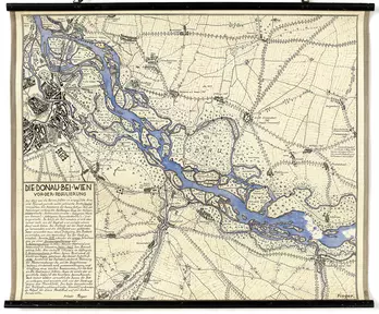
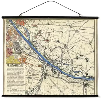
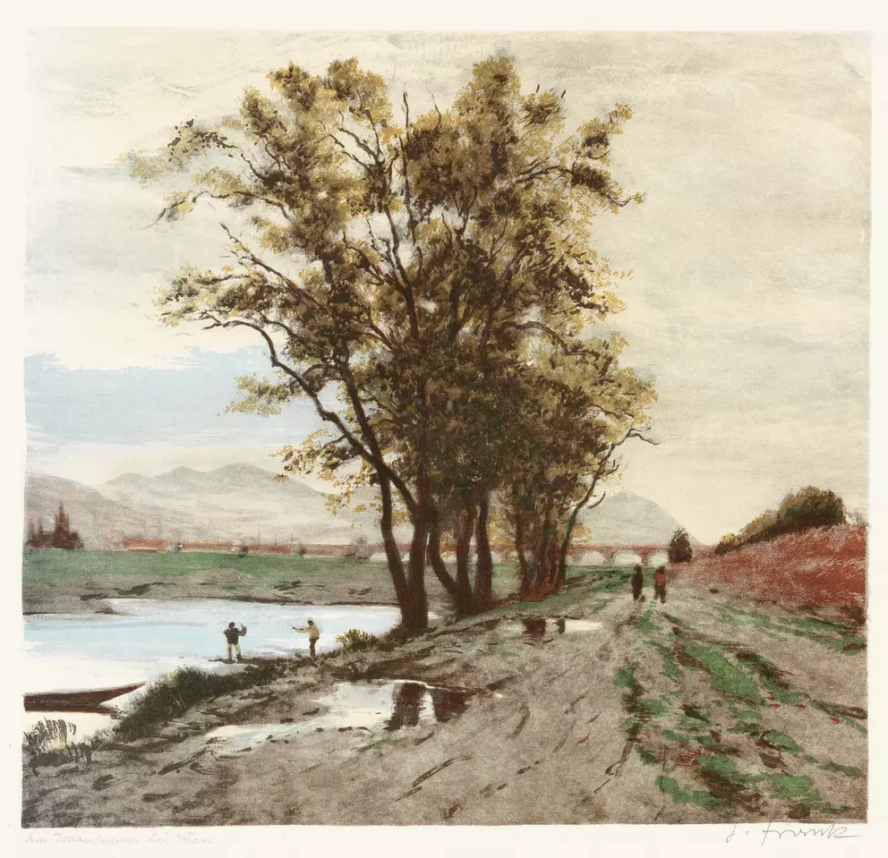
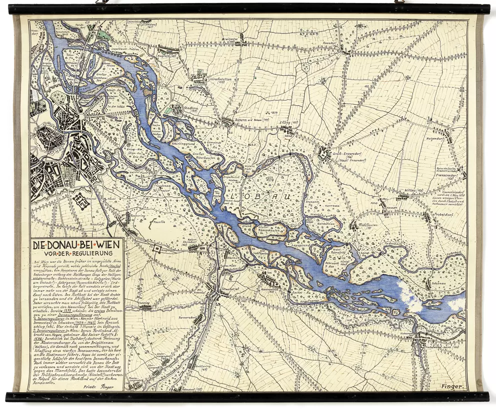
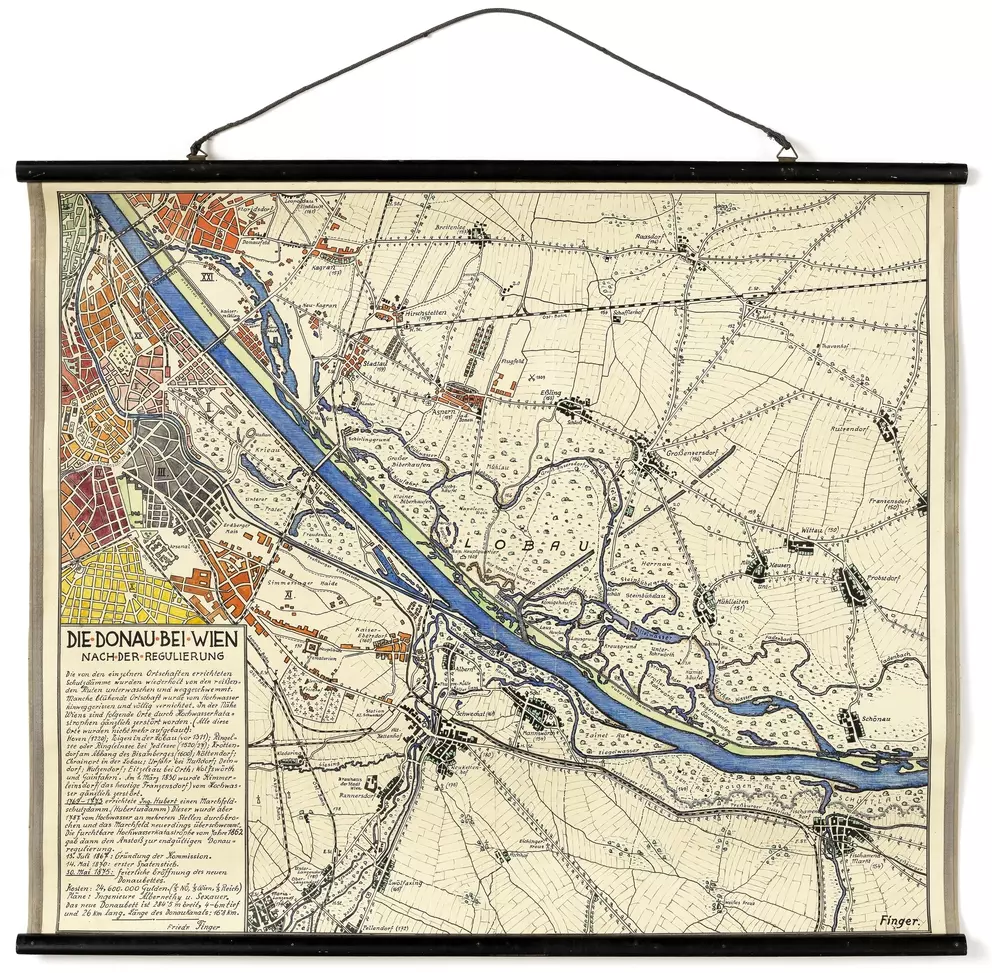
Friedrich Finger, Schulrat
1938
Friedrich Finger, Schulrat
1938
Martin Gerlach jun.
around
1938–1940
Unknown
before
1939
Mischa Erben
1991
Franz Pohanka
1991
Franz Pohanka
1991
Franz Pohanka
1991
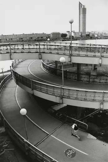
Michael Zwetkoff
2001
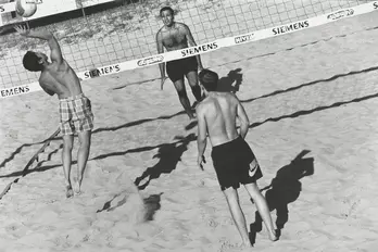
Michael Zwetkoff
2001
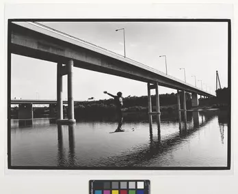
Michael Zwetkoff
2001
Michael Zwetkoff
2001