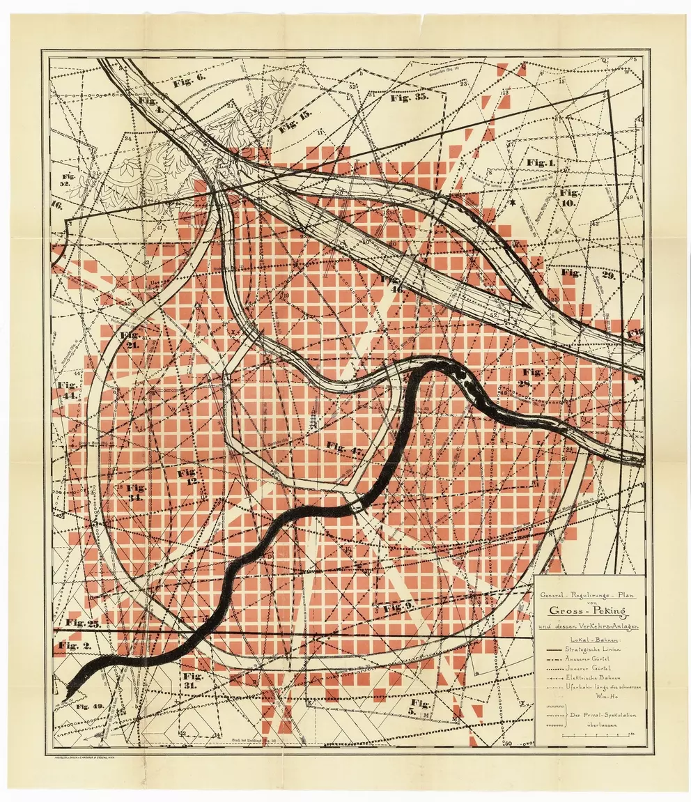
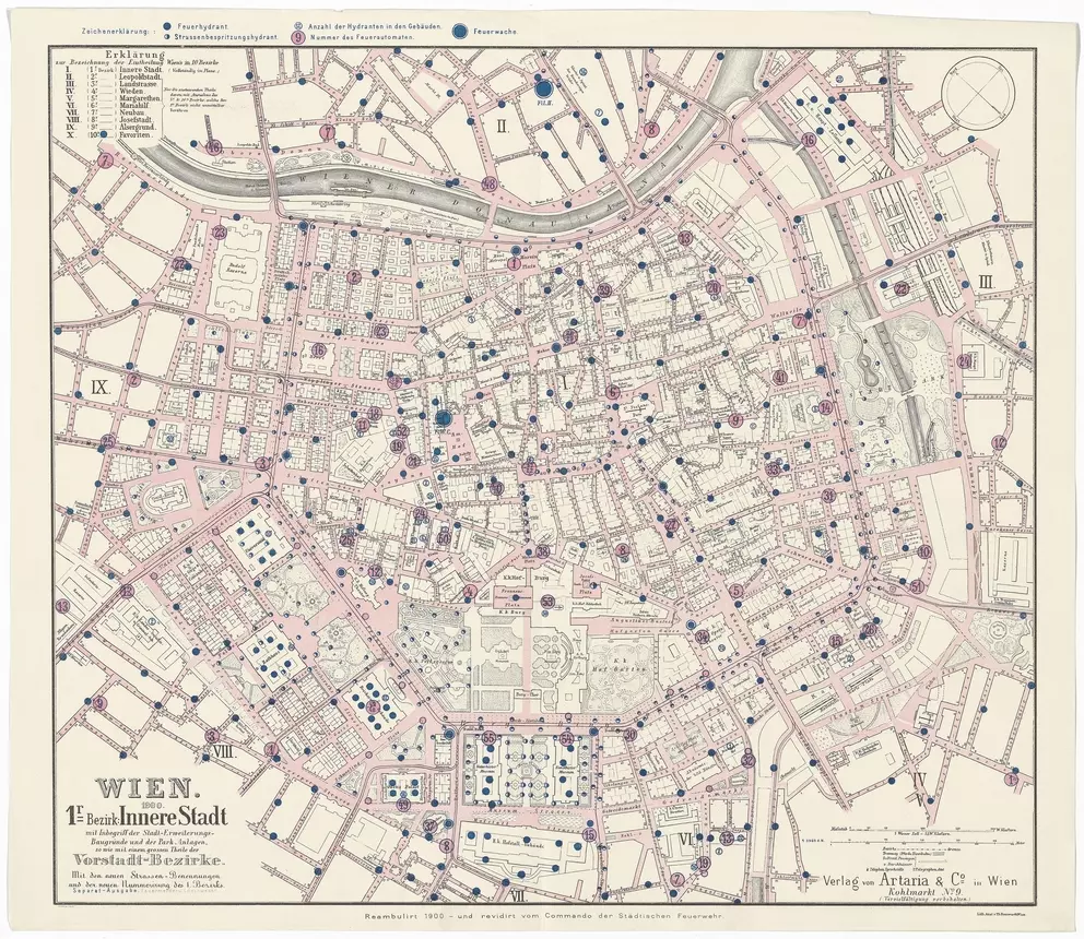
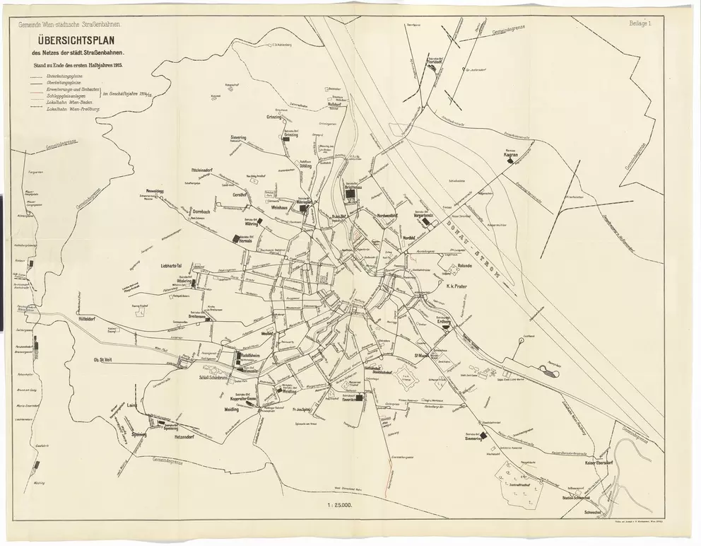
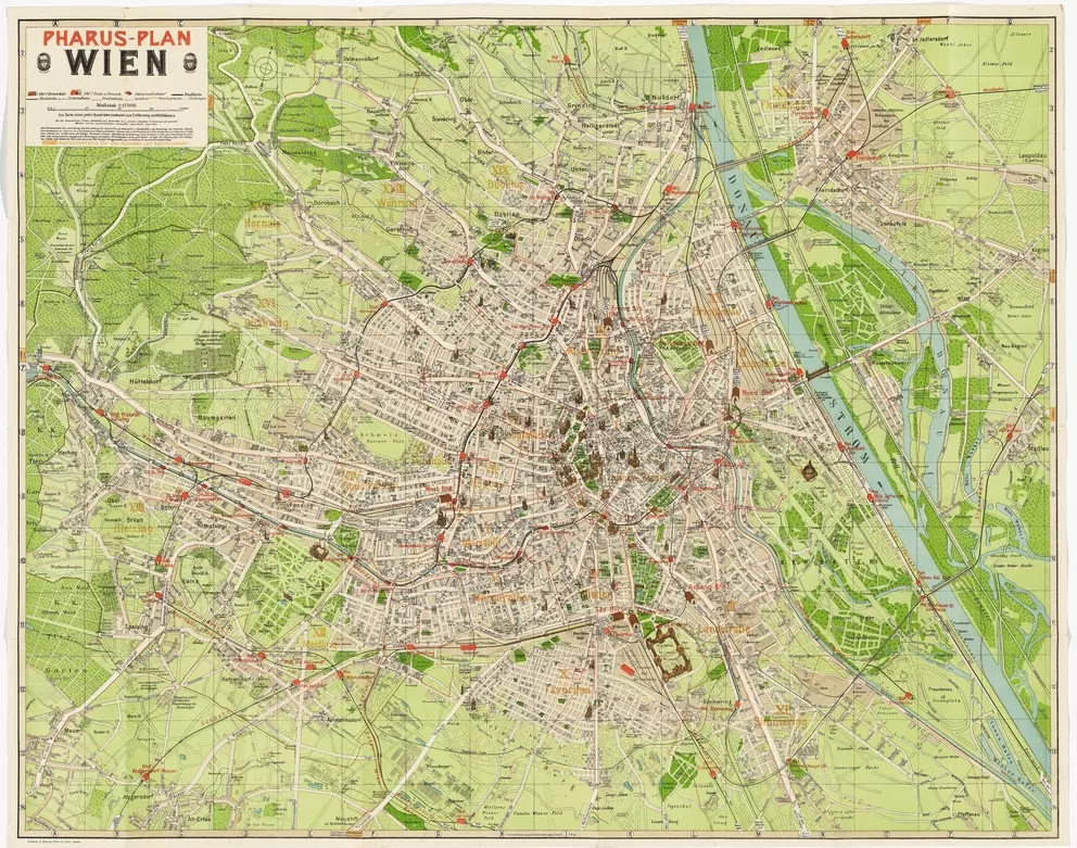
The Mapped City
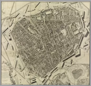
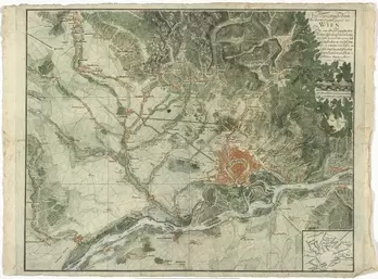
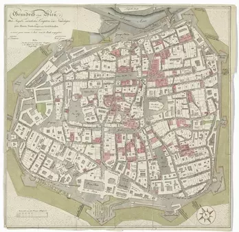
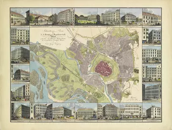
The Wien Museum’s collection contains master plans of the city from the fifteenth century until the present. Found here are thus outstanding testimonials from the early phase of Viennese cartography (such as the oldest known city plan of Vienna, the so-called “Albertinian Map”) along with rare thematic maps and city plans for daily use. Rather than following the principle of completeness, collection occurs based on representativity and significance. City plans demonstrate not only the city’s transformation, but also its cartographic representation and construction.
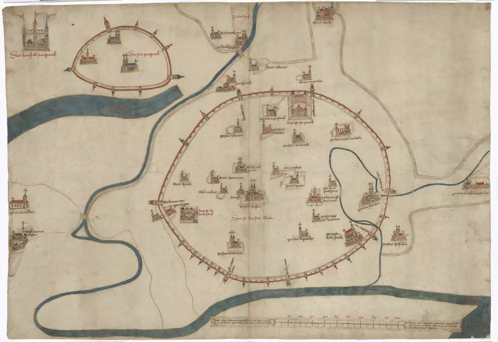


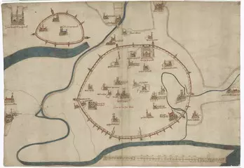
Unknown
ab
1460
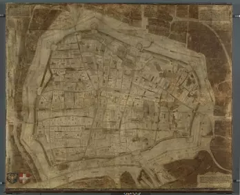
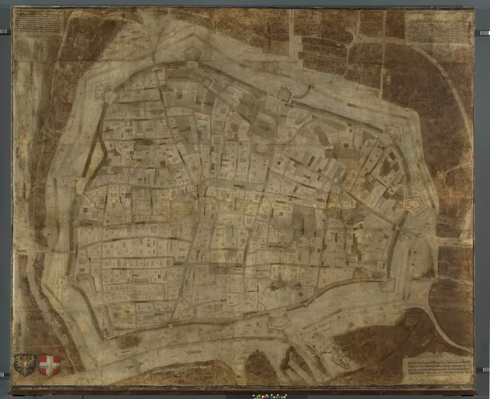
Bonifaz Wolmut (auch: Wolmuet)
1547
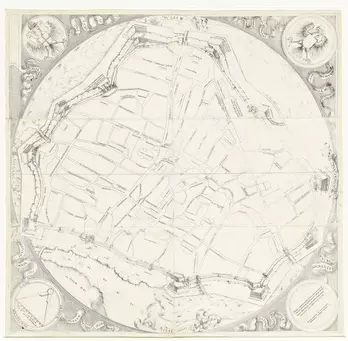
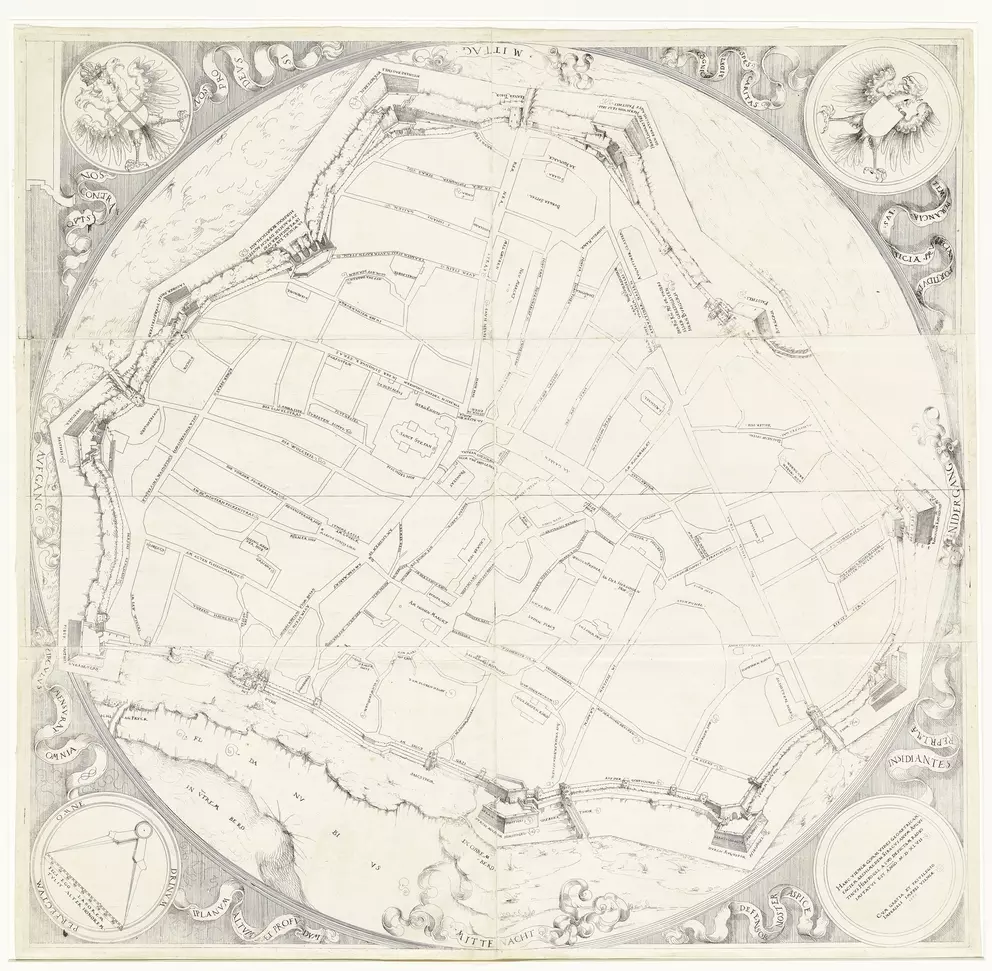
Augustin Hirschvogel
around
1808
– 1828
(print)
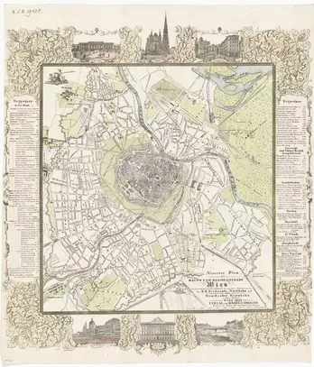
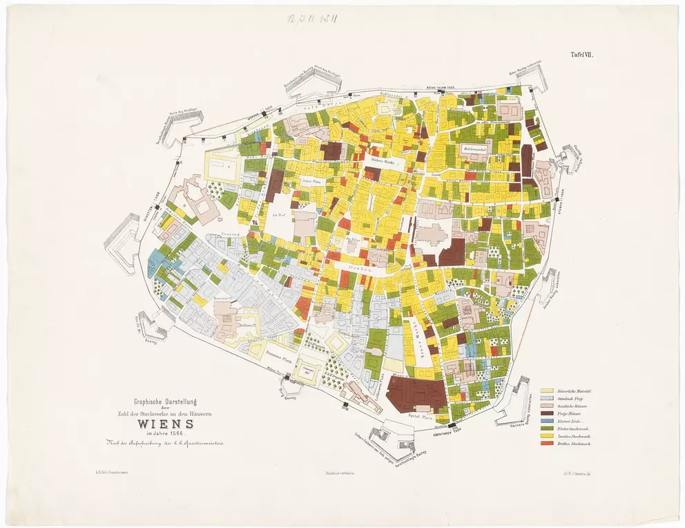
k. k. Hof- und Staatsdruckerei Wien, Albert von Camesina
around
1877
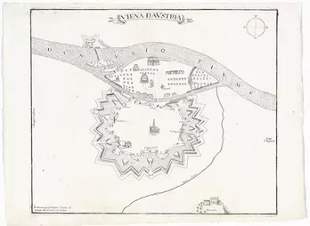
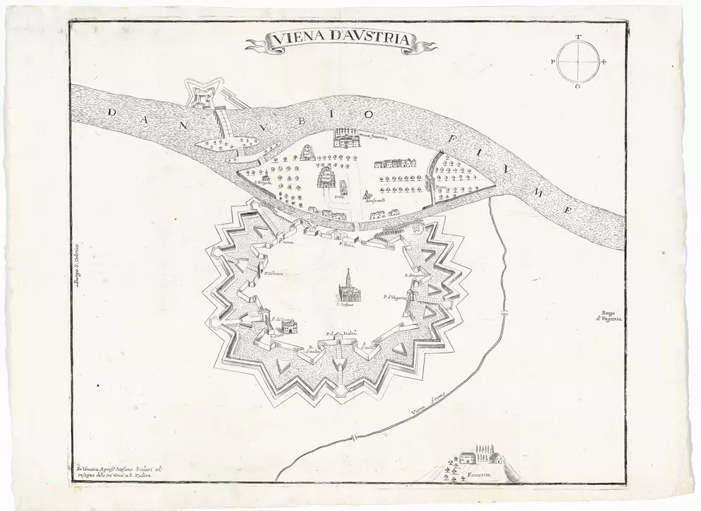
Stefano (Mozzi) Scolari
after
1670
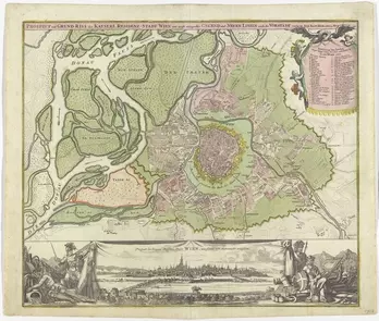
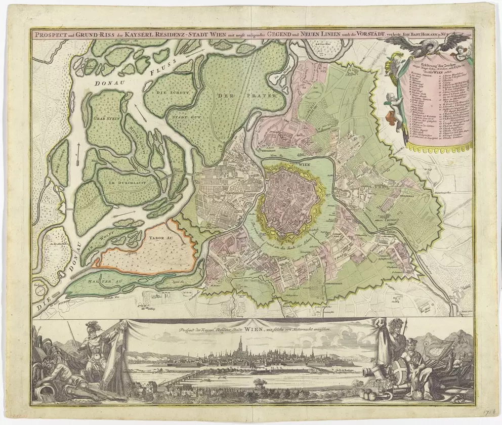
Johann Baptist Homann, Leandro Anguissola, Jacob Marinoni
around
1720
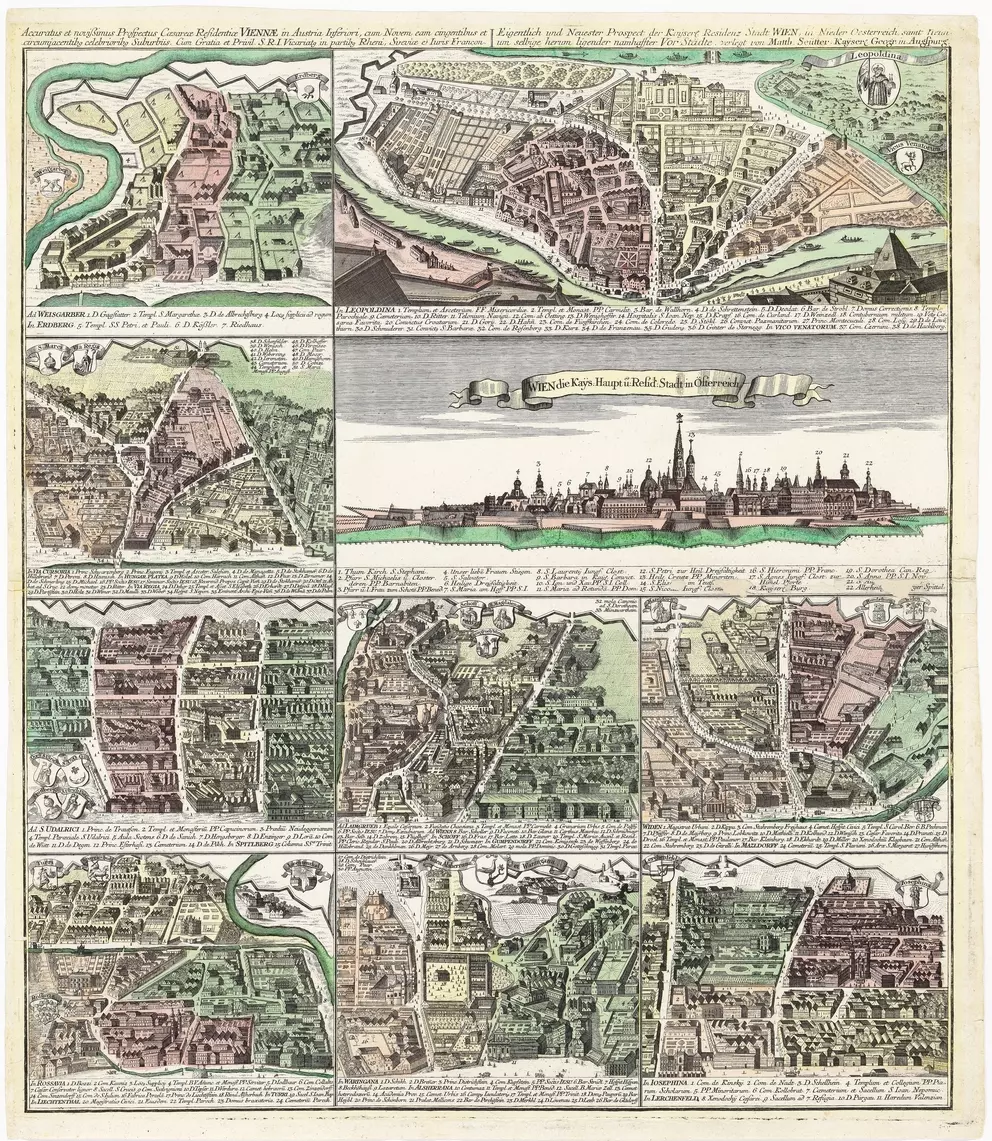
Matthäus Seutter, Tobias Conrad Lotter
1733
– 1757
(Draft)
after
1762
(print)
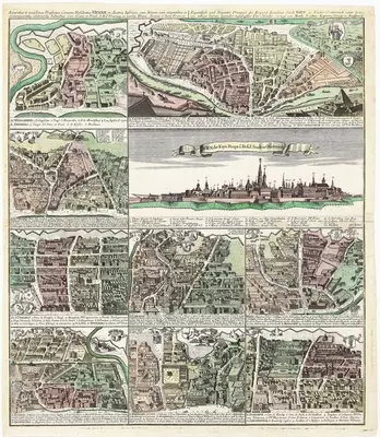
Franz Anton Joachim von Joachimsburg
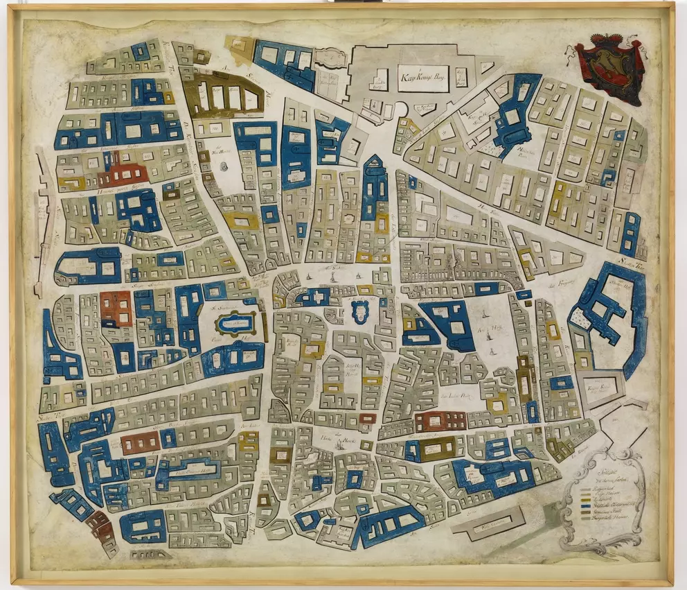
1748
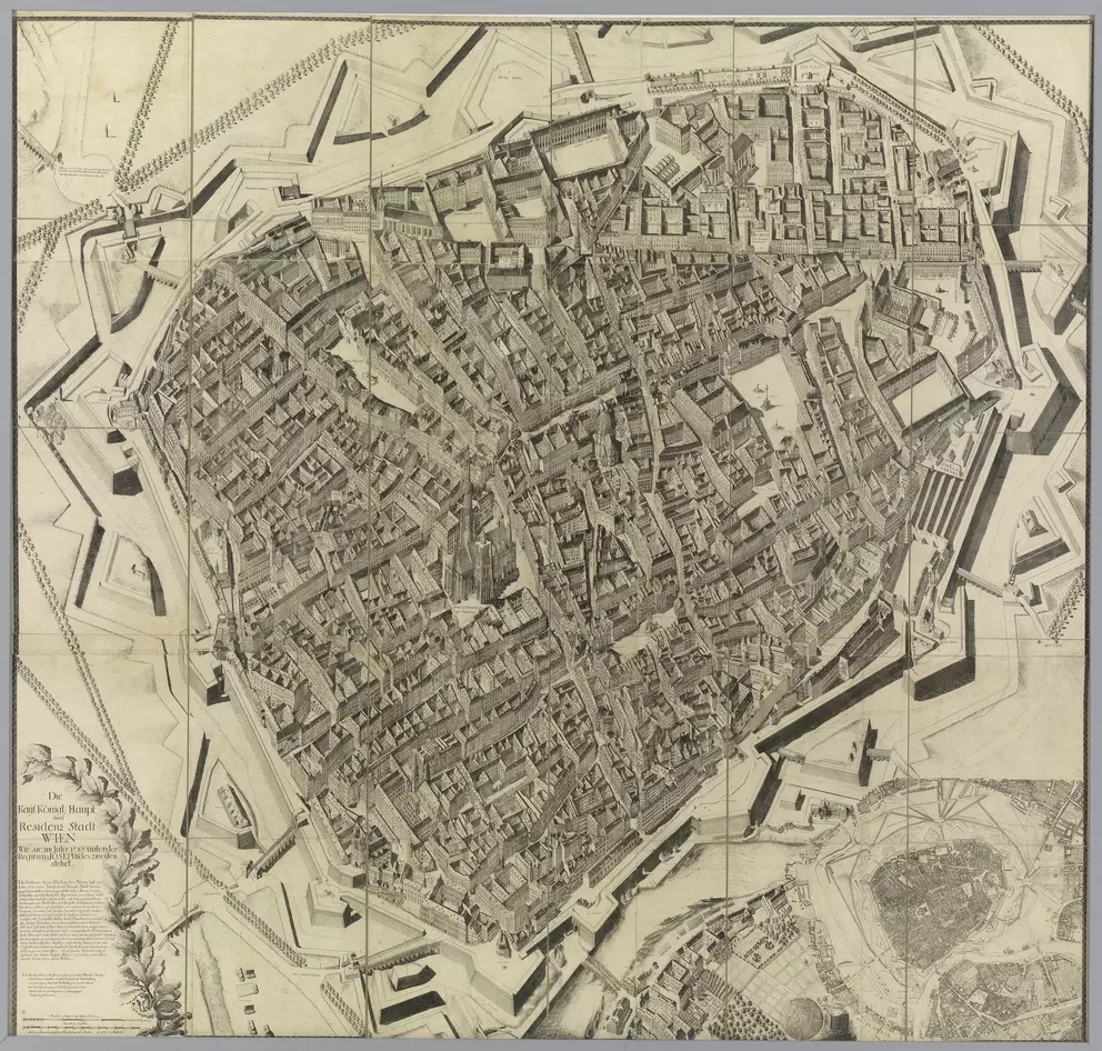
Joseph Daniel von Huber
1785
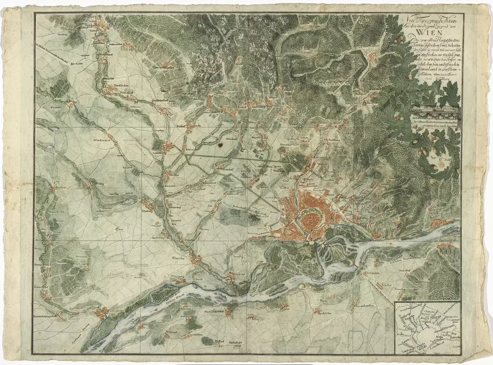
Johann Georg Weingand, Joseph Daniel von Huber
1786
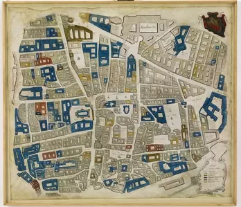
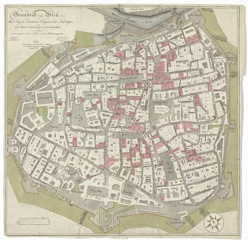
Unknown
around
1803
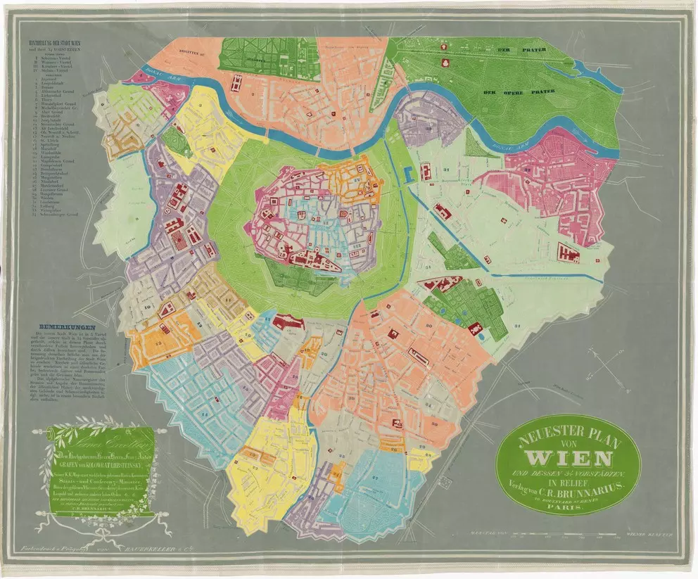
C. R. Brunnarius, Georg Michael Bauerkeller
around
1845
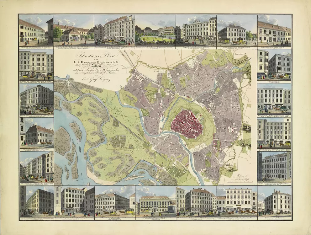
Carl Graf Vasquez
around
1835
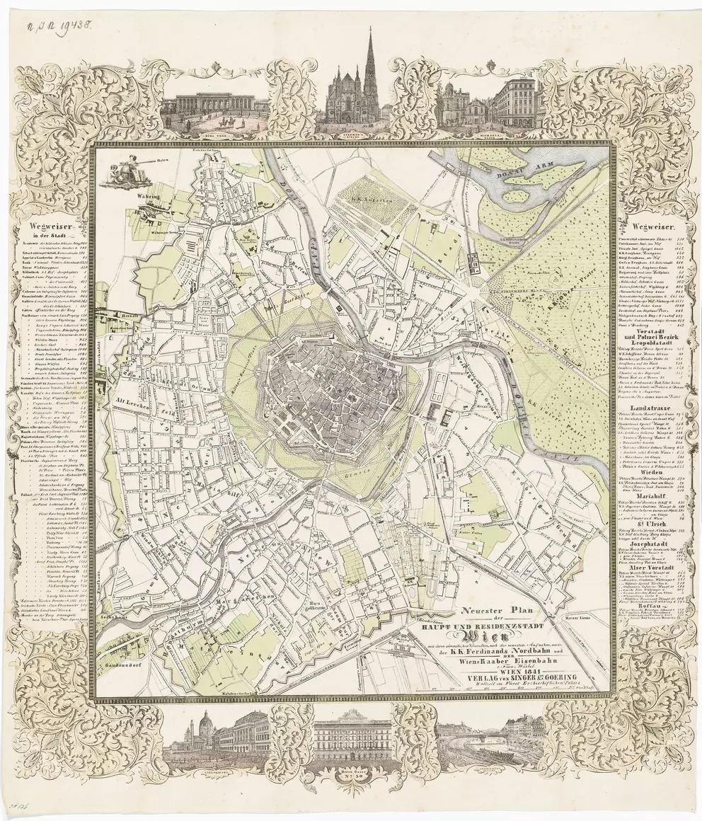
Franz Würbel, Singer & Goering
1841
k. k. Hof- und Staatsdruckerei Wien
1871
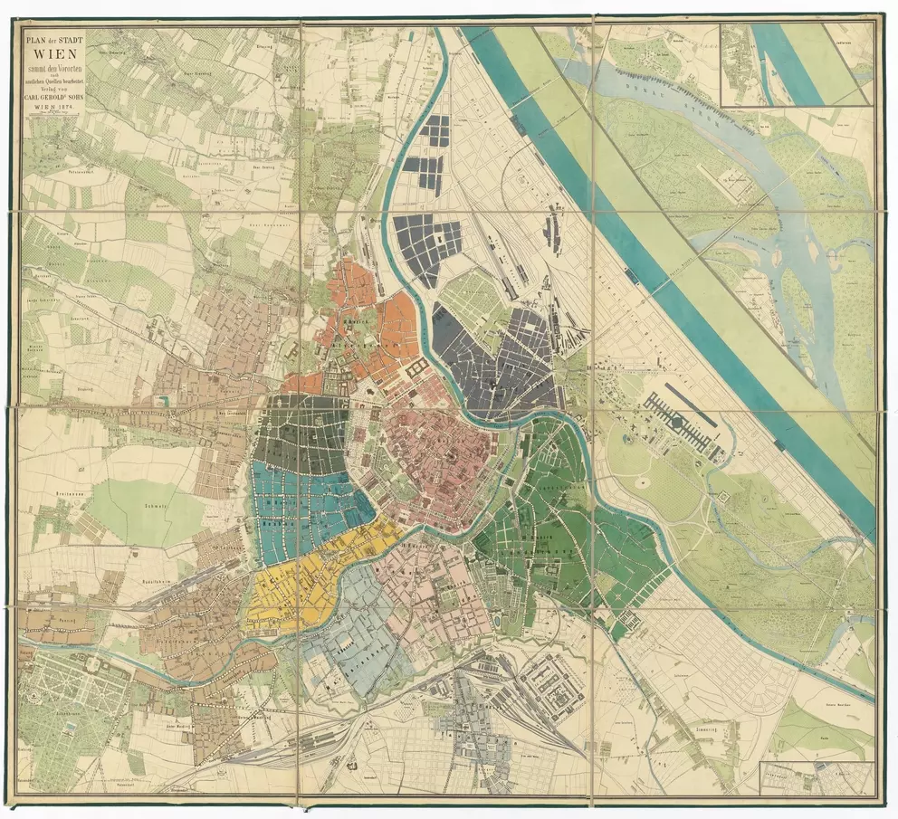
Carl Gerold´s Sohn
1874
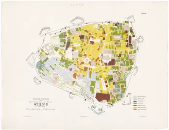
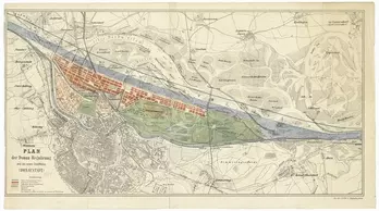
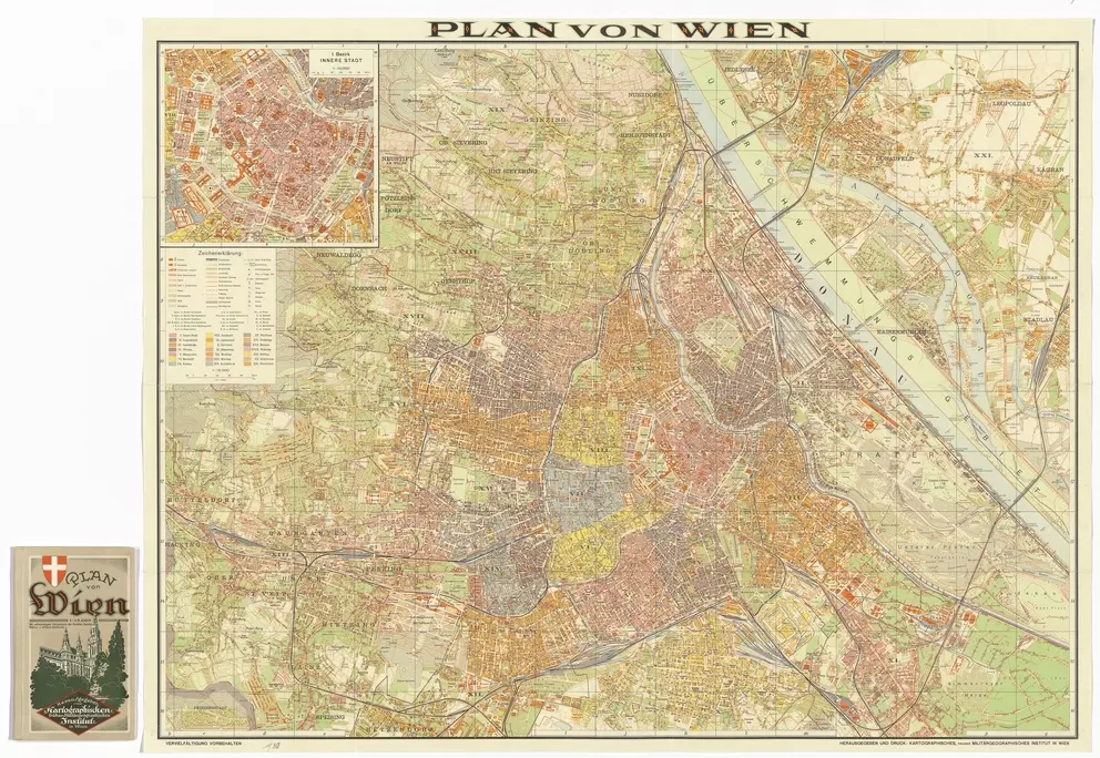
Kartographisches (früher Militärgeographisches) Institut in Wien, Ladislaus Eugen Petrovits (Petrowitsch)
1887
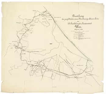
k. k. Hof- und Staatsdruckerei Wien
1890
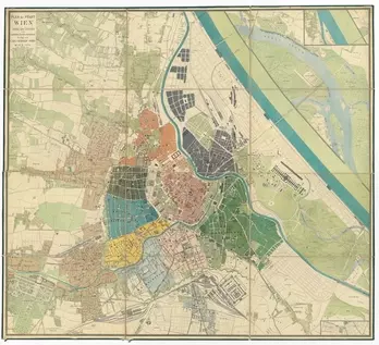
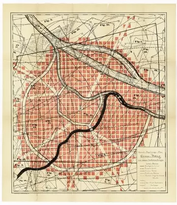
C. Angerer & Göschl, Karl Mayreder
1892
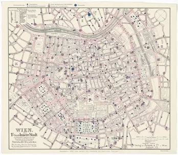
Artaria & Co. Verlag
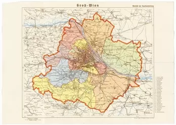
1900
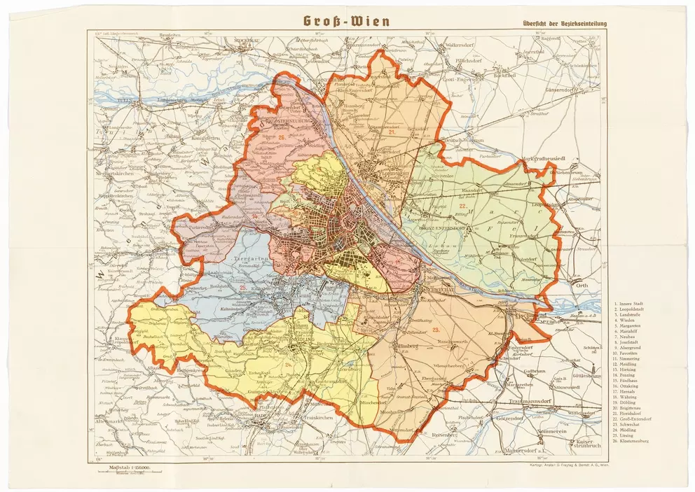
Gemeinde Wien
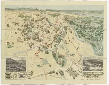
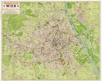
1915
Pharus-Verlag GmbH, Wien
1912
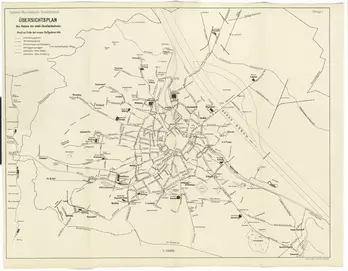
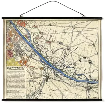
Kartographisches (früher Militärgeographisches) Institut in Wien
1930
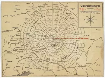
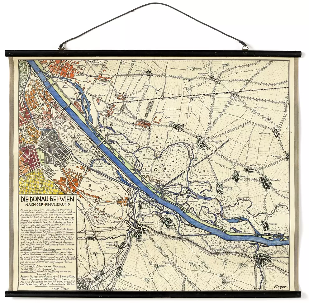
Friedrich Finger, Schulrat
1938
Kartographische Anstalt Freytag-Berndt und Artaria KG (ab 1940)
around
1940
Unknown
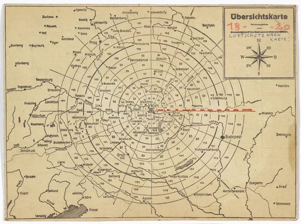
1940
– 1945